West Greenland 2025
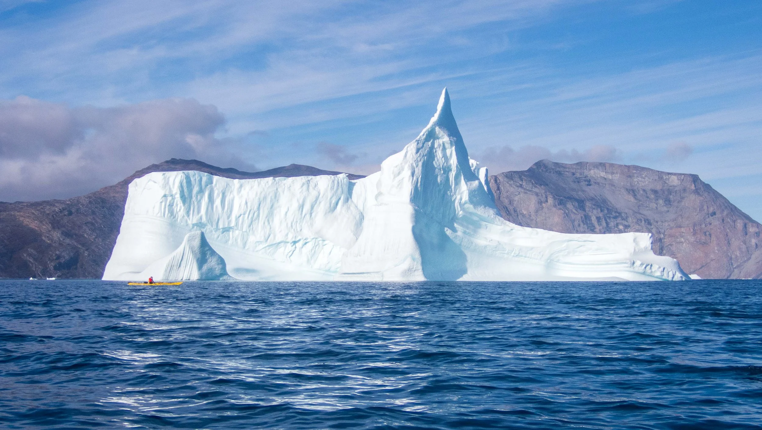
Early in 2025, Dick Lampman and I began comparing notes on a potential trip for the summer. We learned that the excellent guides of Sea Kayak Iceland were offering a sea kayaking trip in West Greenland. The area they had in mind (north of Ilulissat out of Uummannaq) had not seen a polar bear for 30 years, so that meant we wouldn’t need to be burdened by night watch shifts. We knew the route was subject to cold temperatures even in summer, potential high winds and glacier drift that could block passages. Dick and I love Guðni Viktorsson’s guiding style, which is rigorous, always well prepared and thoughtful during the trip, and thorough in planning. This trip would follow his usual style of arranging logistics (extremely complicated on this trip), while allowing us to share in group decision-making and preparation of our own meals and camping arrangements. There were some areas Guðni hadn’t yet explored, and this trip would necessarily be quite flexible with day by day decisions on destinations.
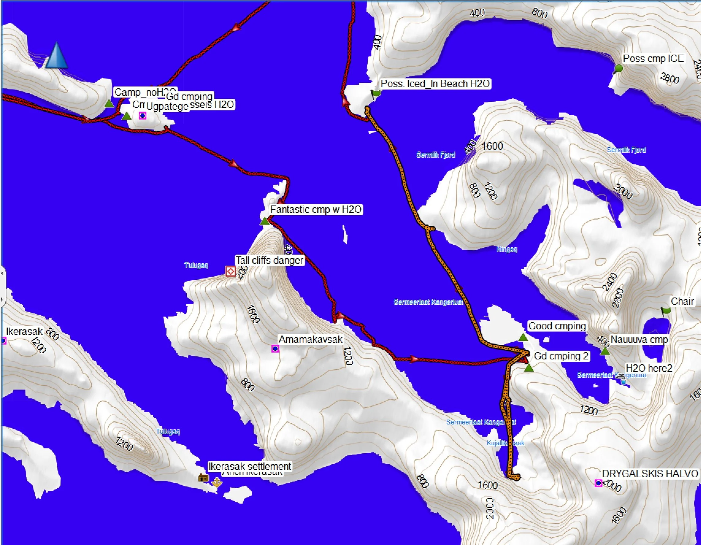
Route Overview: 88 Nautical Miles*, 10 Paddling Days
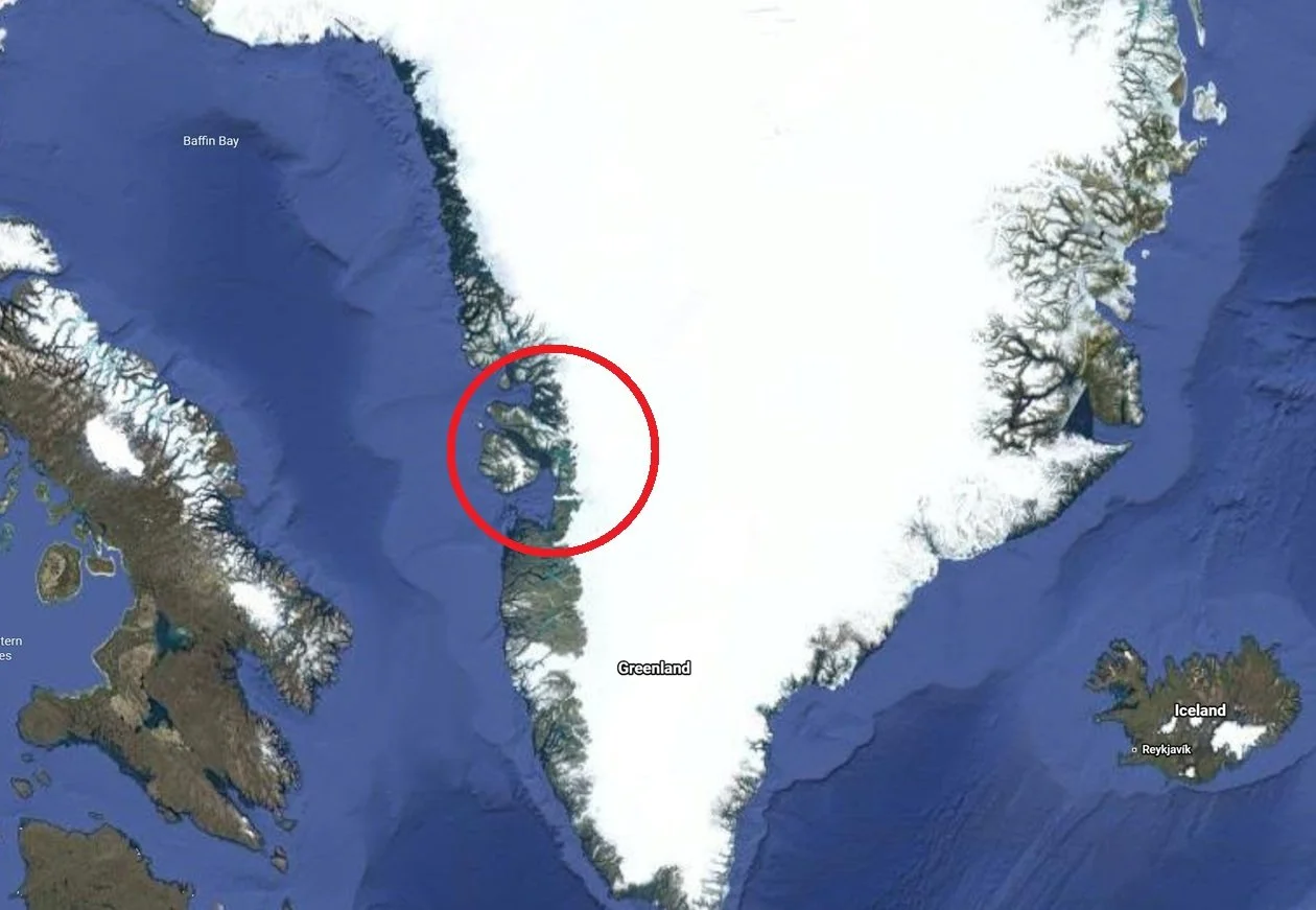
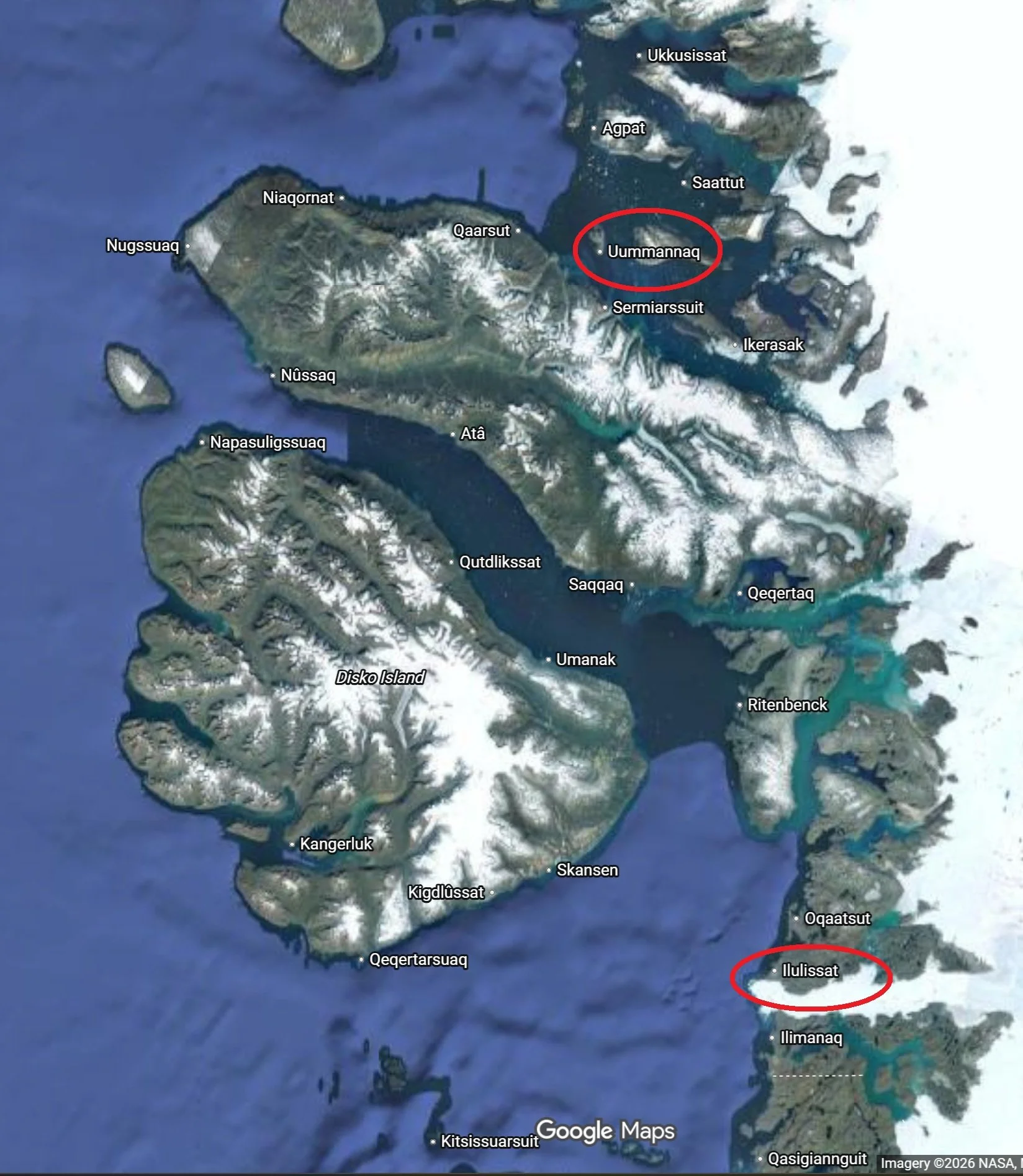
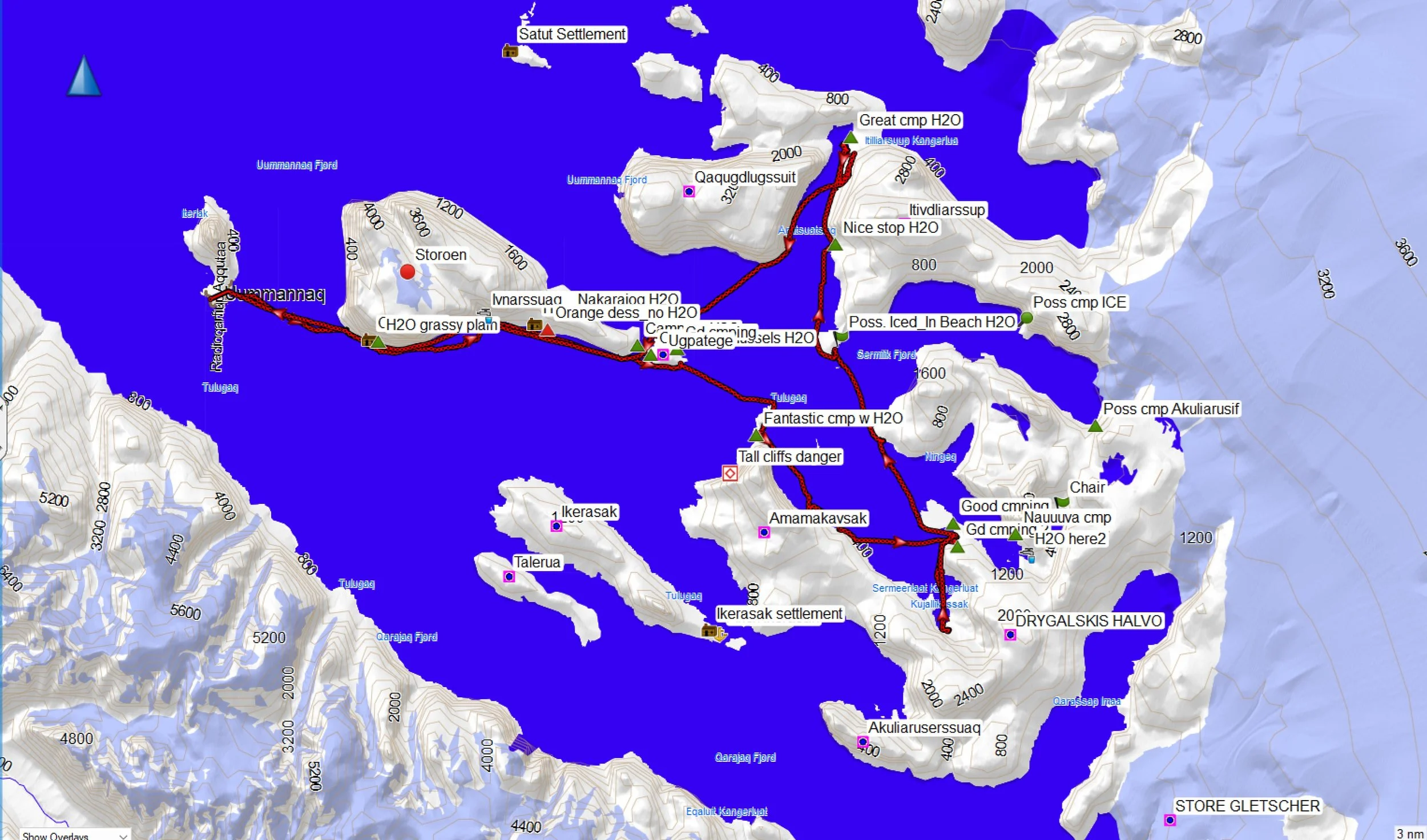
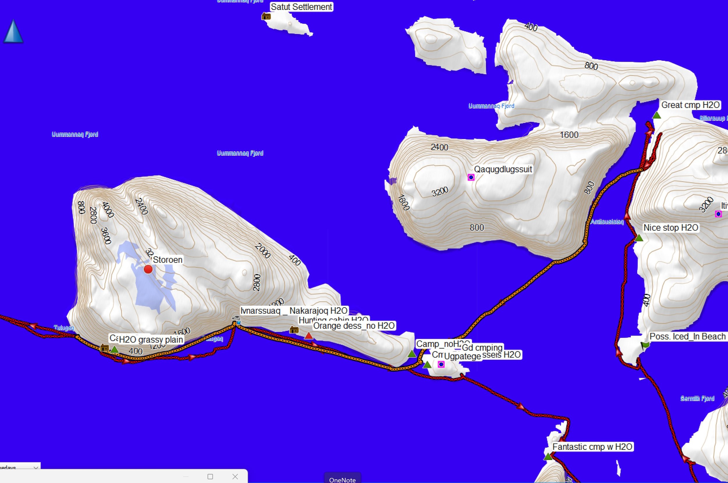
Paddling track, round-trip from Uummannaq
Pre-Kayaking Logistics: Guðni warned us before the trip that we’d need to pack lightly, as we’d be traveling part of the way by helicopter, and we should try to keep our weight below 20 kg (~40 lbs) per bag, and total weight to 30-35 kg. I did a quick test pack following this Zoom call in the winter, and saw I’d have no trouble keeping my gear weight within this limit. Of course, we’d need to pack very warm clothes, as we could expect 0°C. temperatures or lower, and potentially strong winds.
Dick and I flew from SFO to Reykjavik via Seattle using Iceland Air, an excellent airline. At Reykjavik, we met up with the others on the trip (Guðni, John Carmody, Carl Parris, Peggy O’Neal, and Rebecca Hoye; some clients had dropped out prior to the trip) as we lined up for the flight to Ilulissat. In Ilulissat we had a couple days to acclimate to the new time zone and purchase any last-minute supplies, while squeezing in some sightseeing as well. Illulissat is a small town of ~ 5000 people and equally as many sled dogs. As the home of the Illulissat Icefjord — a UNESCO National Heritage Sight — its primary industry is tourism, although clearly subsistence remains a major source of food for the many natives. Ilulissat offers several hotels, B&B’s, and VRBO’s, two large grocery stores, and a few small specialty shops for warm clothing. As I had my own dehydrated food all packed and ready, I made the most of the available time to sightsee around Ilulissat. Unfortunately, Rebecca had become ill during her travels and knew she wouldn’t be up for the rigors of the trip. Sadly, she returned home.
ILULISSAT SLIDESHOW
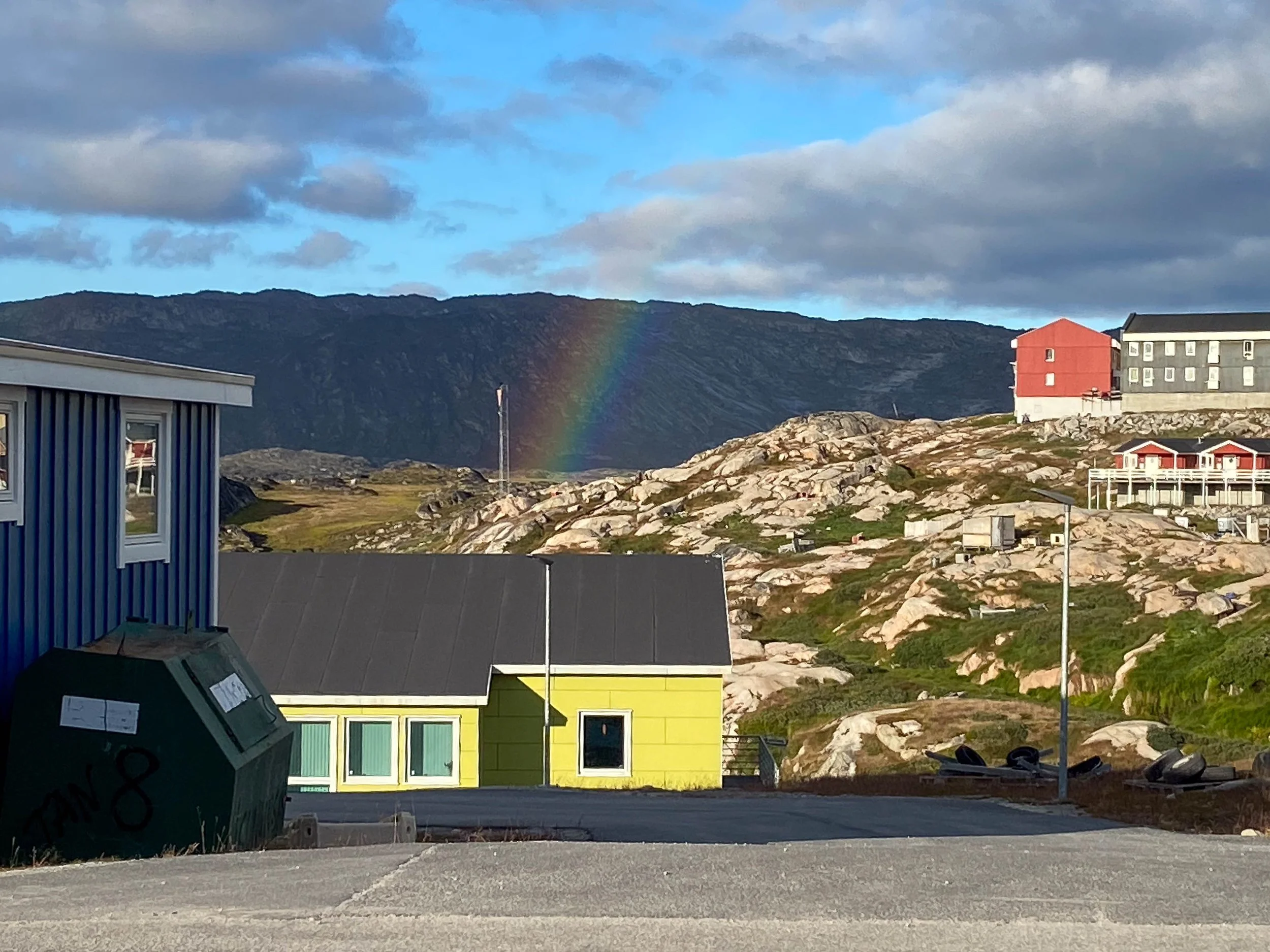
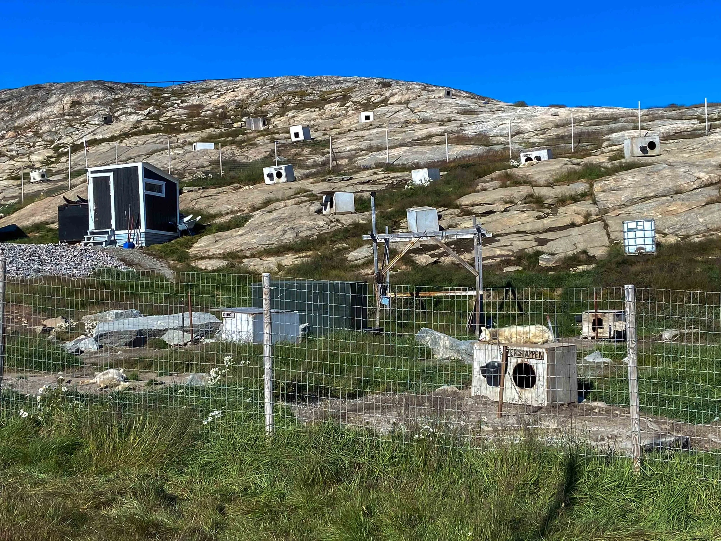
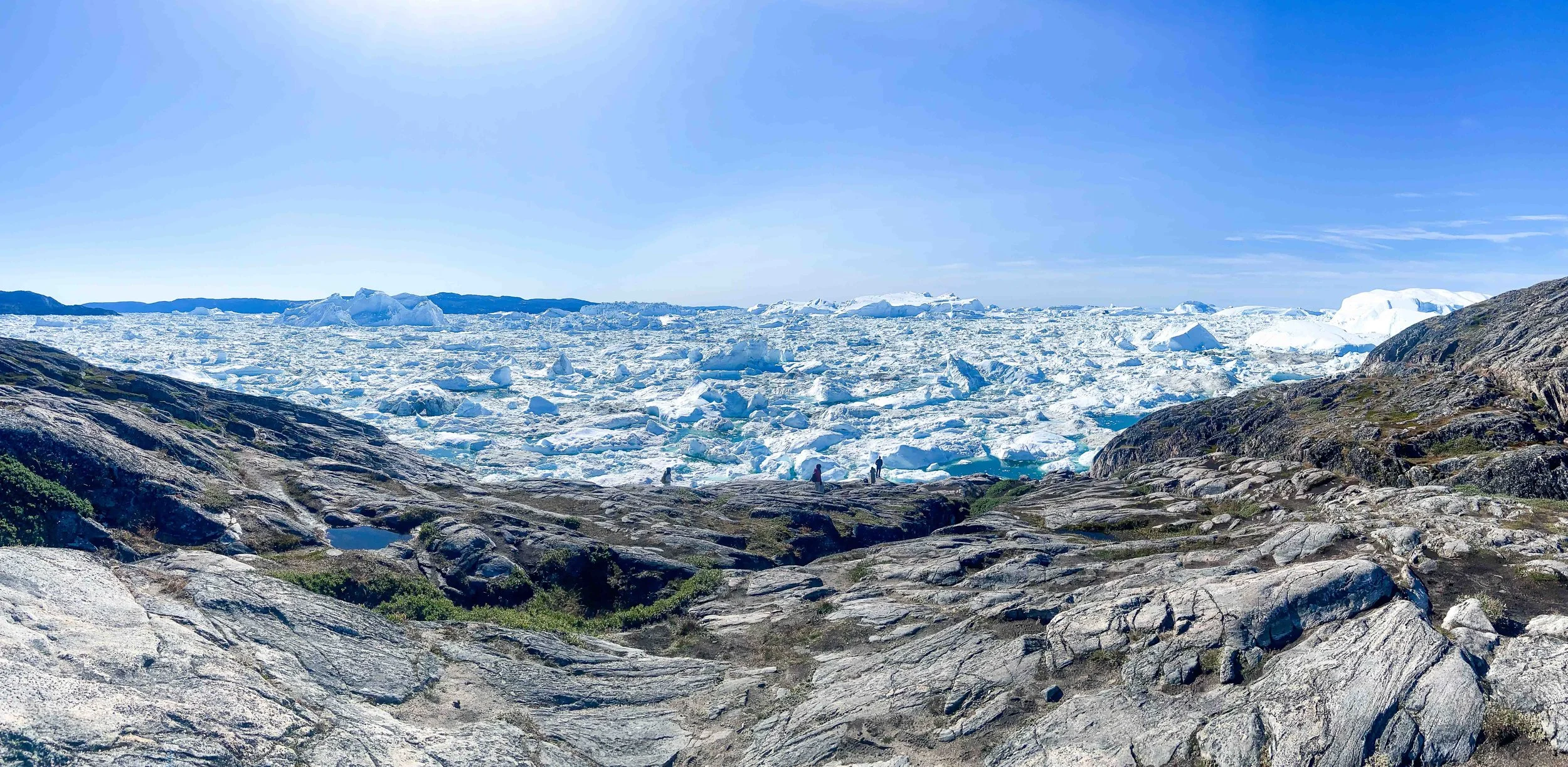
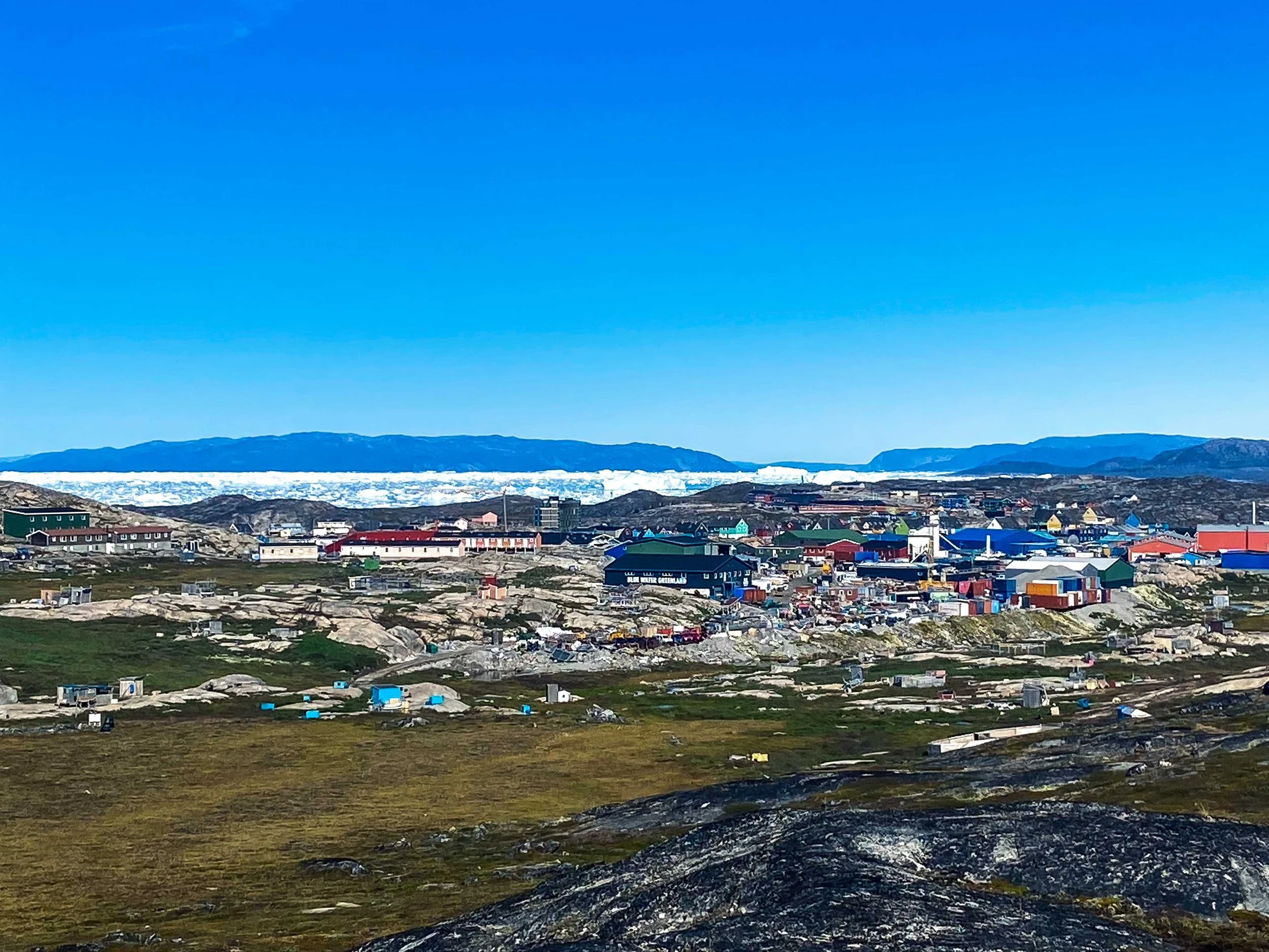
The Ilulissat Icefjord is worthy of its inclusion as UNESCO Heritage Site! It is fed by the Sermeq Kujalleq glacier, and moves at speeds of 19-40 meters per day. The noise from the shifting ice makes it seem a living thing, and calving from this floe is believed to make up approximately 10% of all of Greenland’s calving ice. The size of the Icefjord floe is beyond description.
Dogs in West Greenland
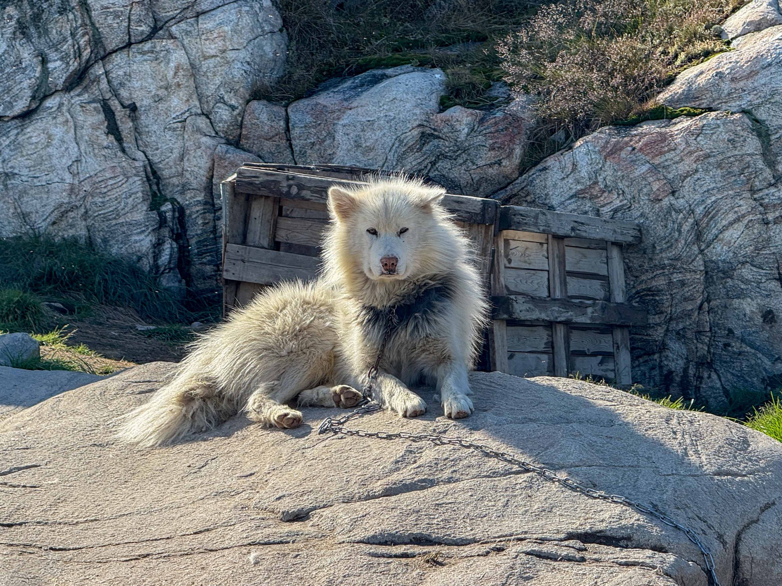
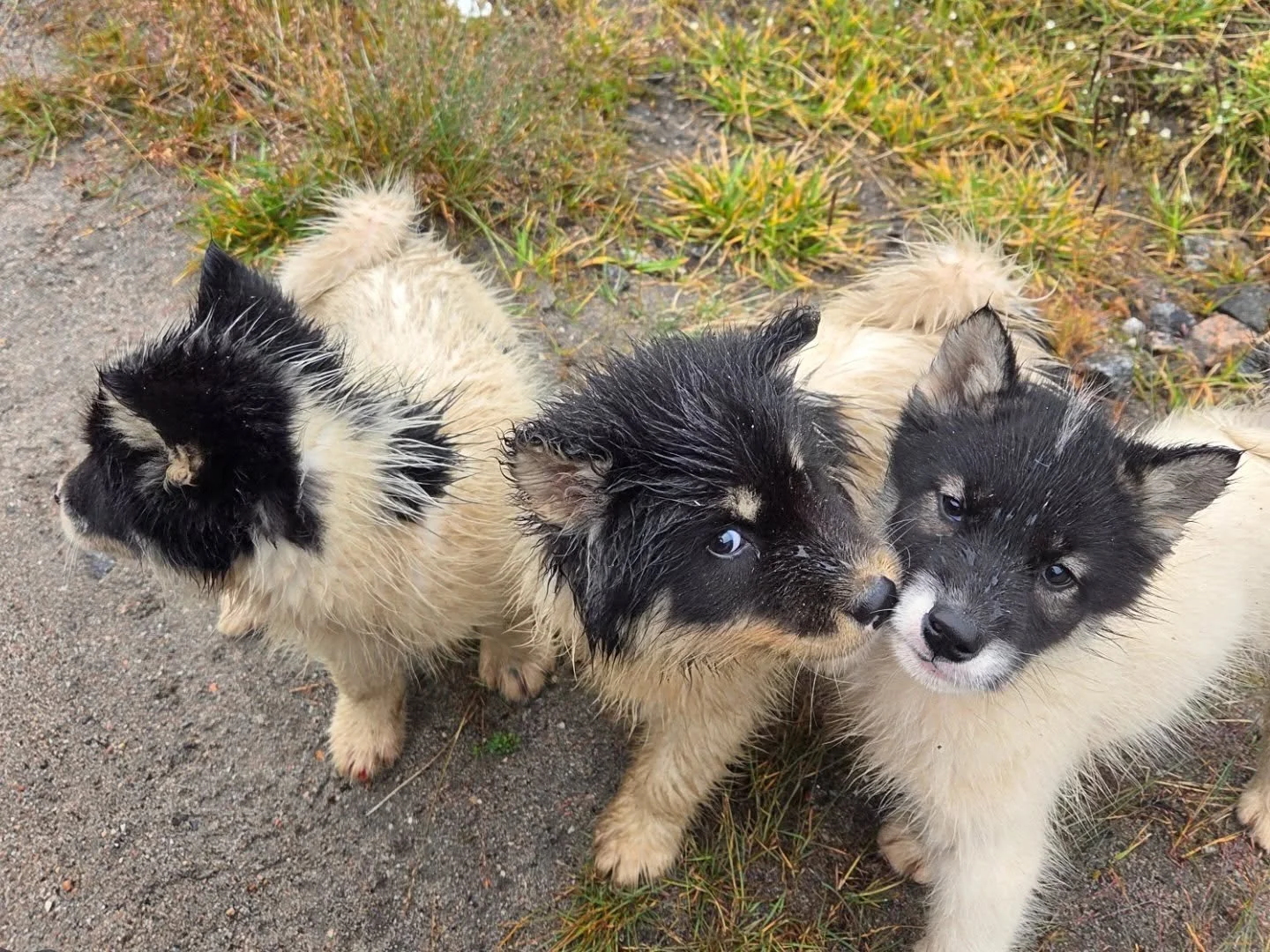
Witnessing the sled dogs in Greenland was unique! The Greenlandic dogs are a unique breed, and inter-breeding with dogs from other regions is prohibited. All of the dogs live outside, in and out of the doghouses, in all weather and all year round. All adult dogs are chained up constantly, and there is no such thing as a “pet dog”. Of course, the puppies that we saw throughout the trip are adorable! Puppies are allowed to roam freely throughout the village, and cars frequently stop to allow them to cross a road. At the age of five months, the puppies are then chained up for the rest of their lives as they begin their roles of pulling heavy sleds for the winter. In the evenings at feeding time, entire sections of town would experience the raucous din of the dogs barking and howling as they were fed.
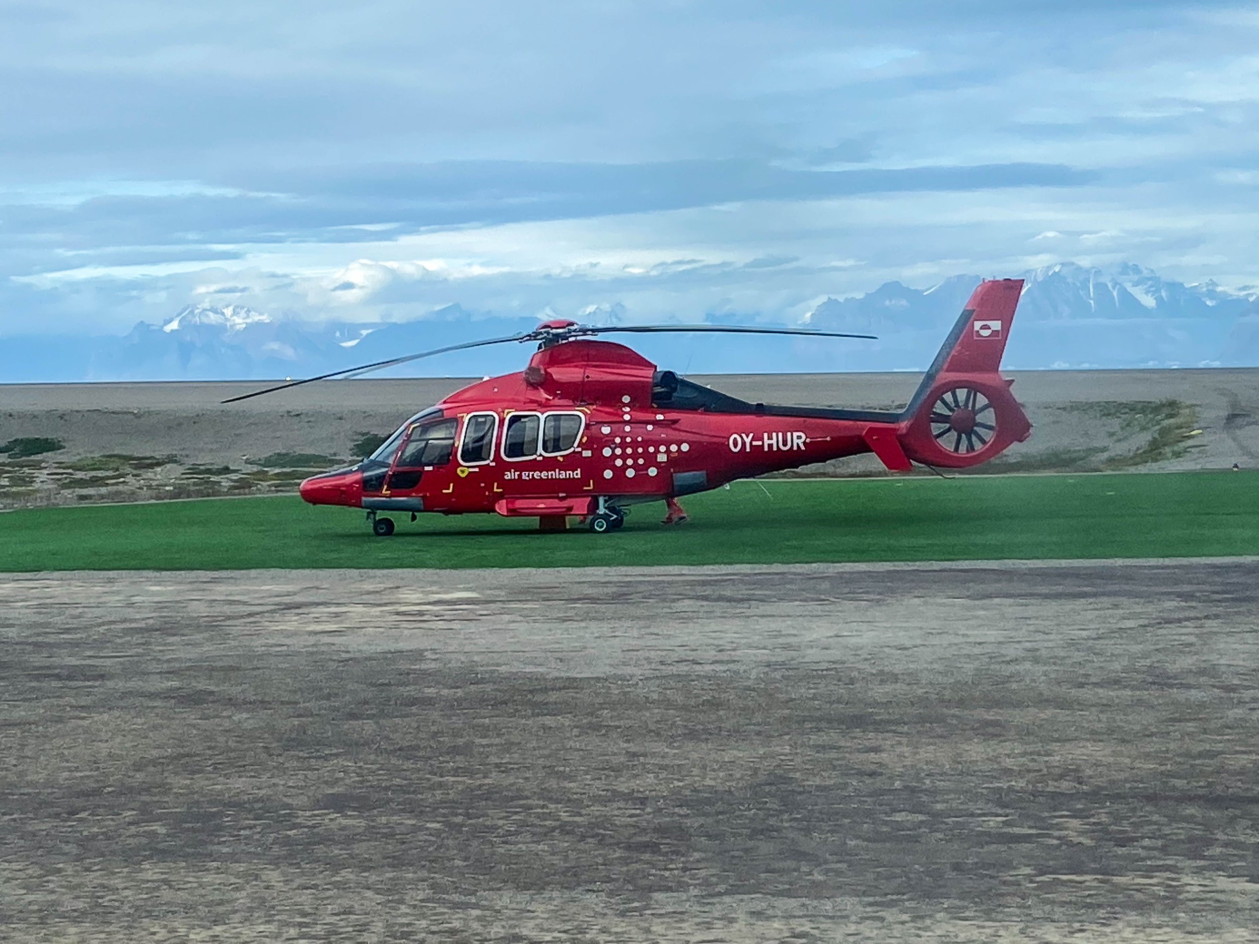
From Ilulissat we flew via Greenland Air to Qaarsut, a tiny settlement on the coast with an isolated airport and airfield. We remained within the Qaarsut airport while awaiting our helicopter flight to Uummannaq. This was my first helicopter flight, and Guðni and I flew first with some other passengers while the rest of the gang followed in the subsequent flight shortly thereafter. I was somewhat unnerved at seeing the ocean below an open slat near the pilot’s feet! The flight from Qaarsut to Uummannaq was fairly short, but clearly dependent on the fickle weather (wind, fog, visibility). At Uummannaq we were met by Anton, a friend of Guðni who was our reliable host. Anton had been educated in the U.S. and had established himself as a reliable and trustworthy businessman on Uummannaq, offering excellent shared accomodation for us in large houses. We had a little extra time in the afternoon to get some food from the village store for a group dinner, and a short tour of the busy harbor.
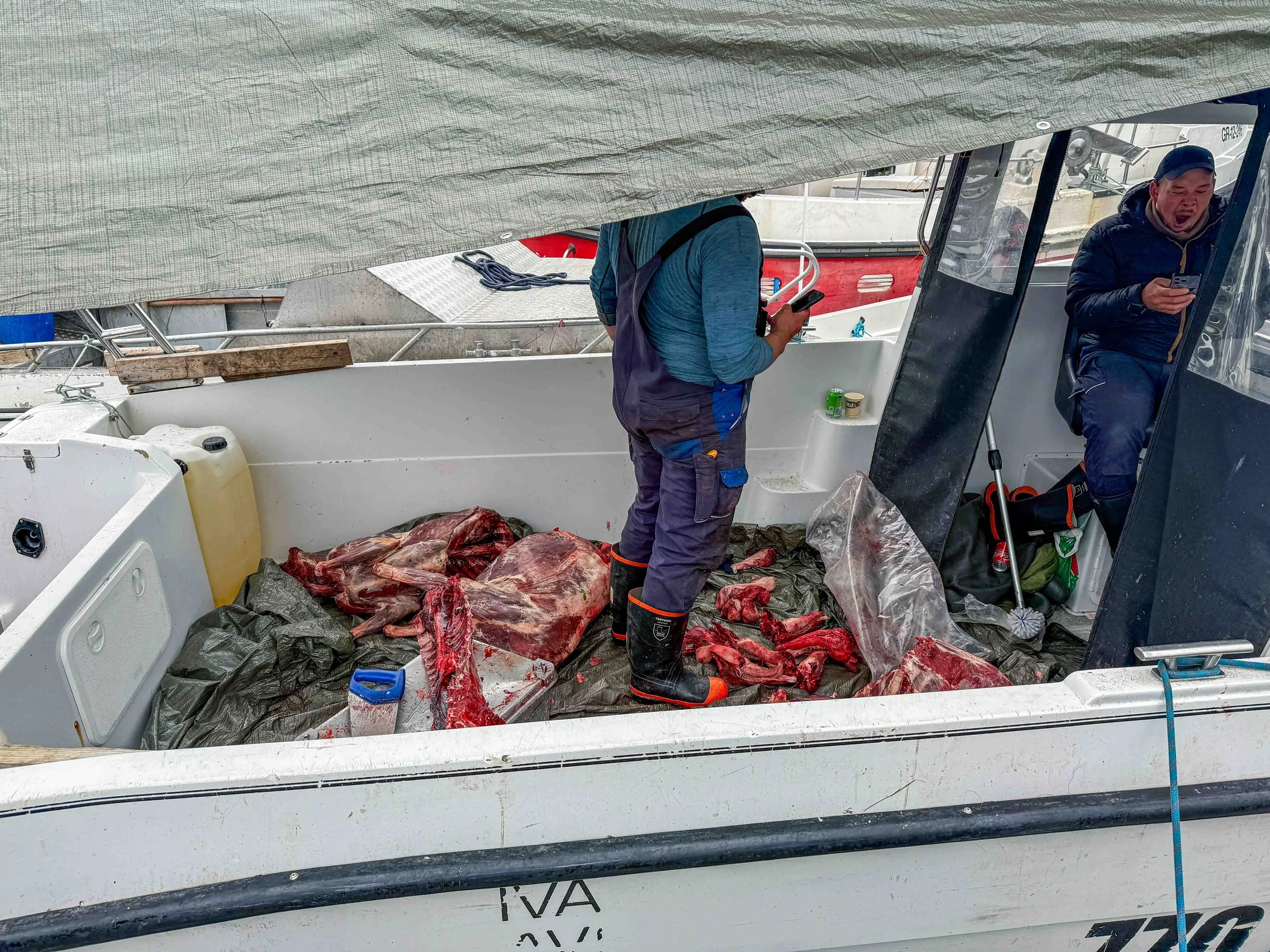
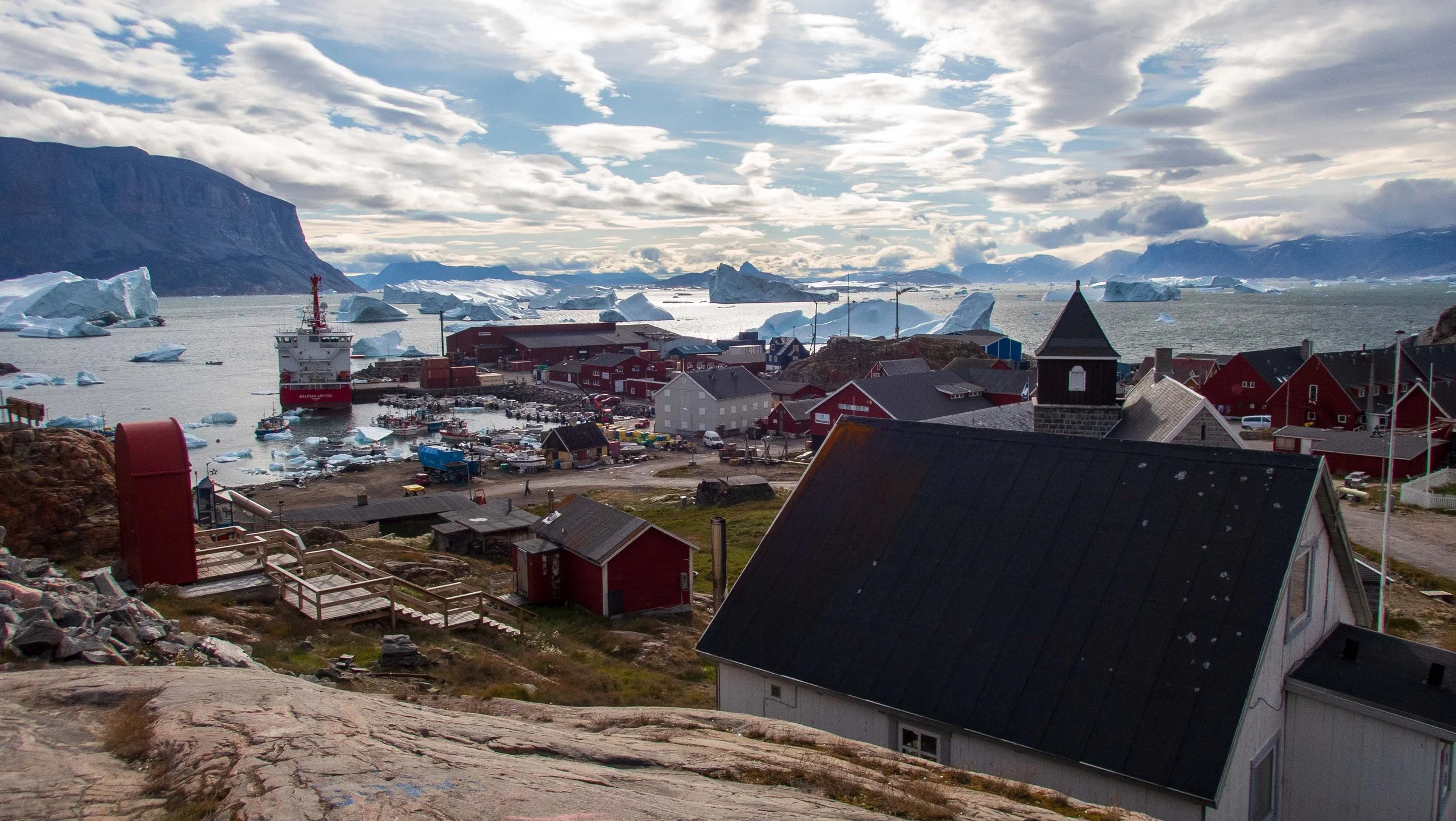
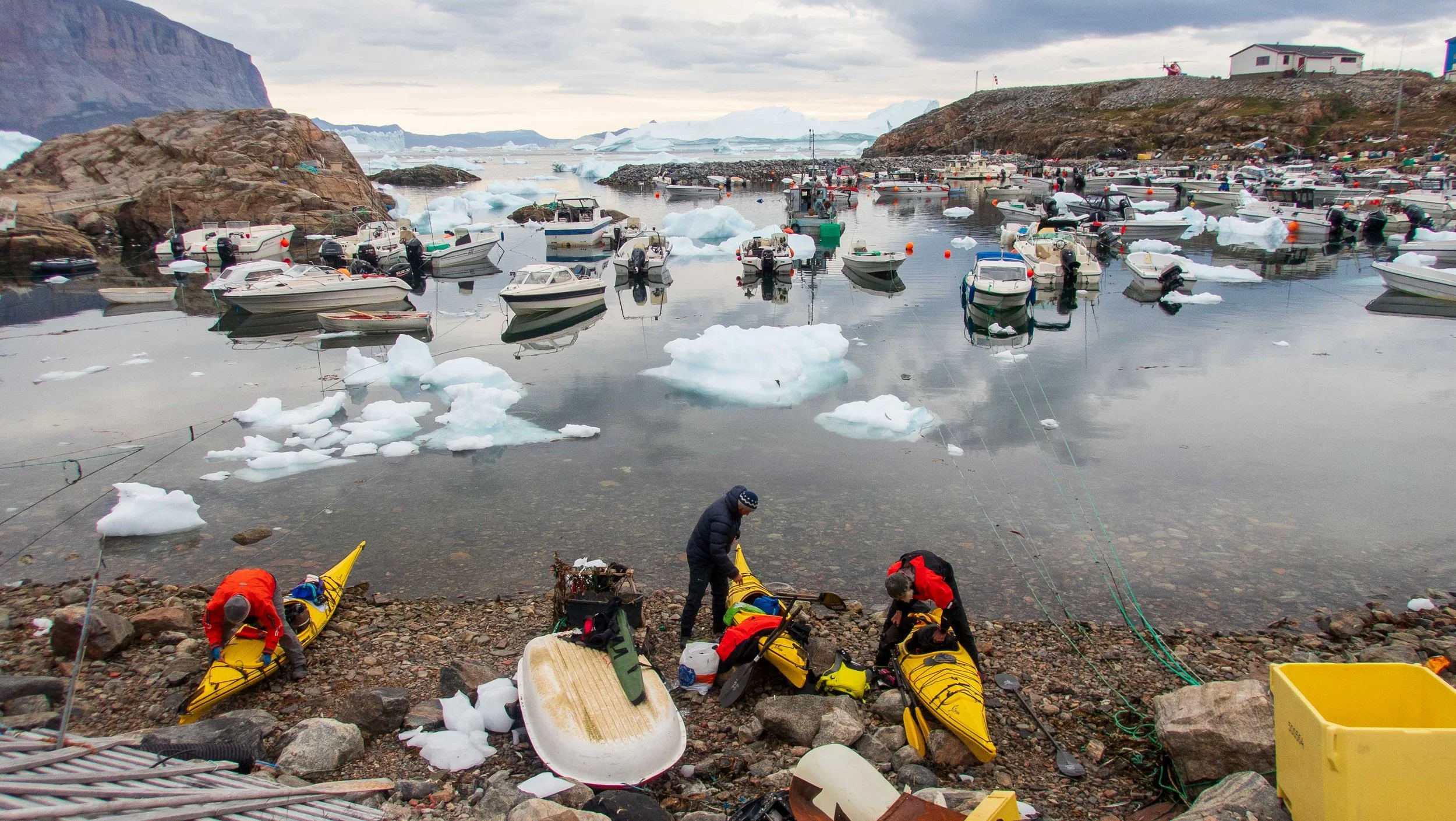
The next day was devoted to acquiring our rental kayaks and test packing them, with any final adjustments for size and repairs. The kayaks were large with rudders, but at least the kayak I had was not as large as the Priijon Kodiak that I used to paddle. The small harbor was crowded and filled with discarded supplies and some trash.
Day 1,2: Uummannaq harbor to Stoeren Island and SE corner of Ugpatege Island ~4.5 nmi, 8.3 km; 12.9 nmi, 23.9 km
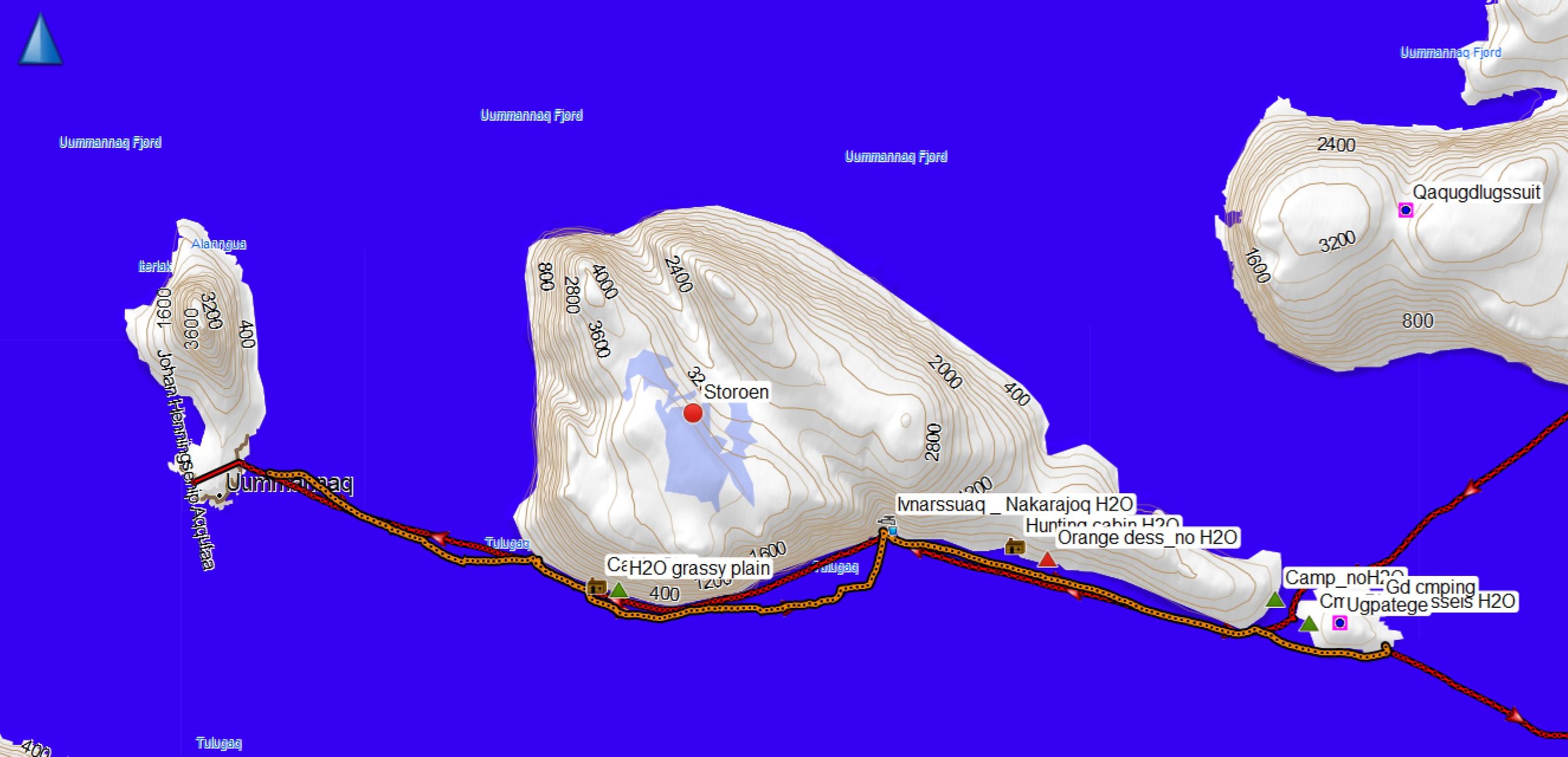
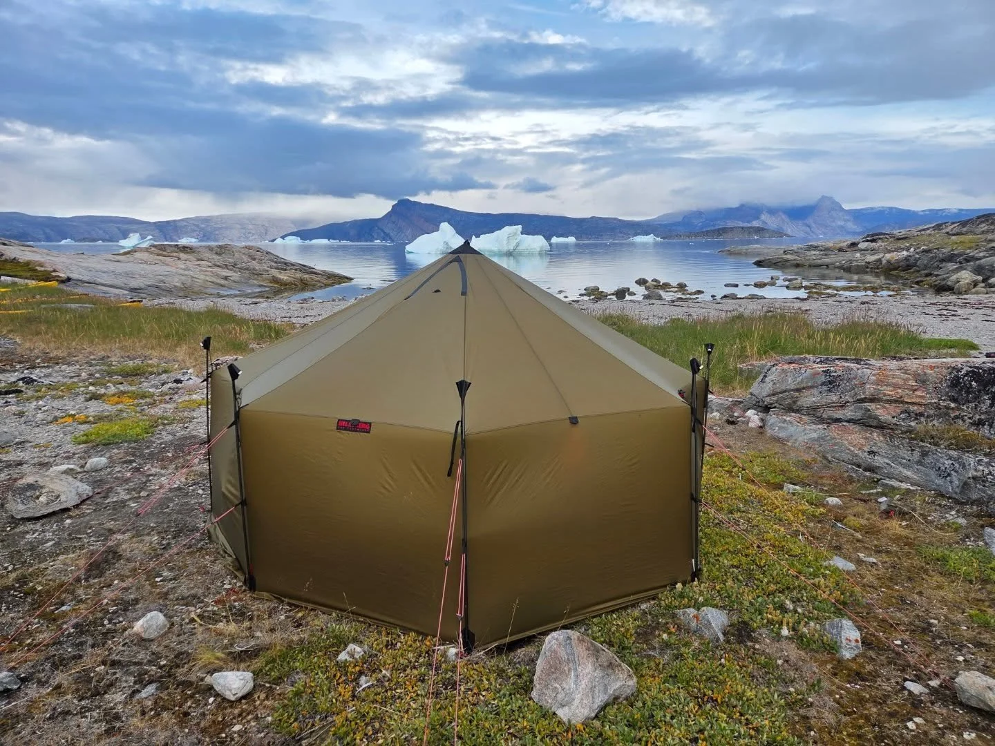
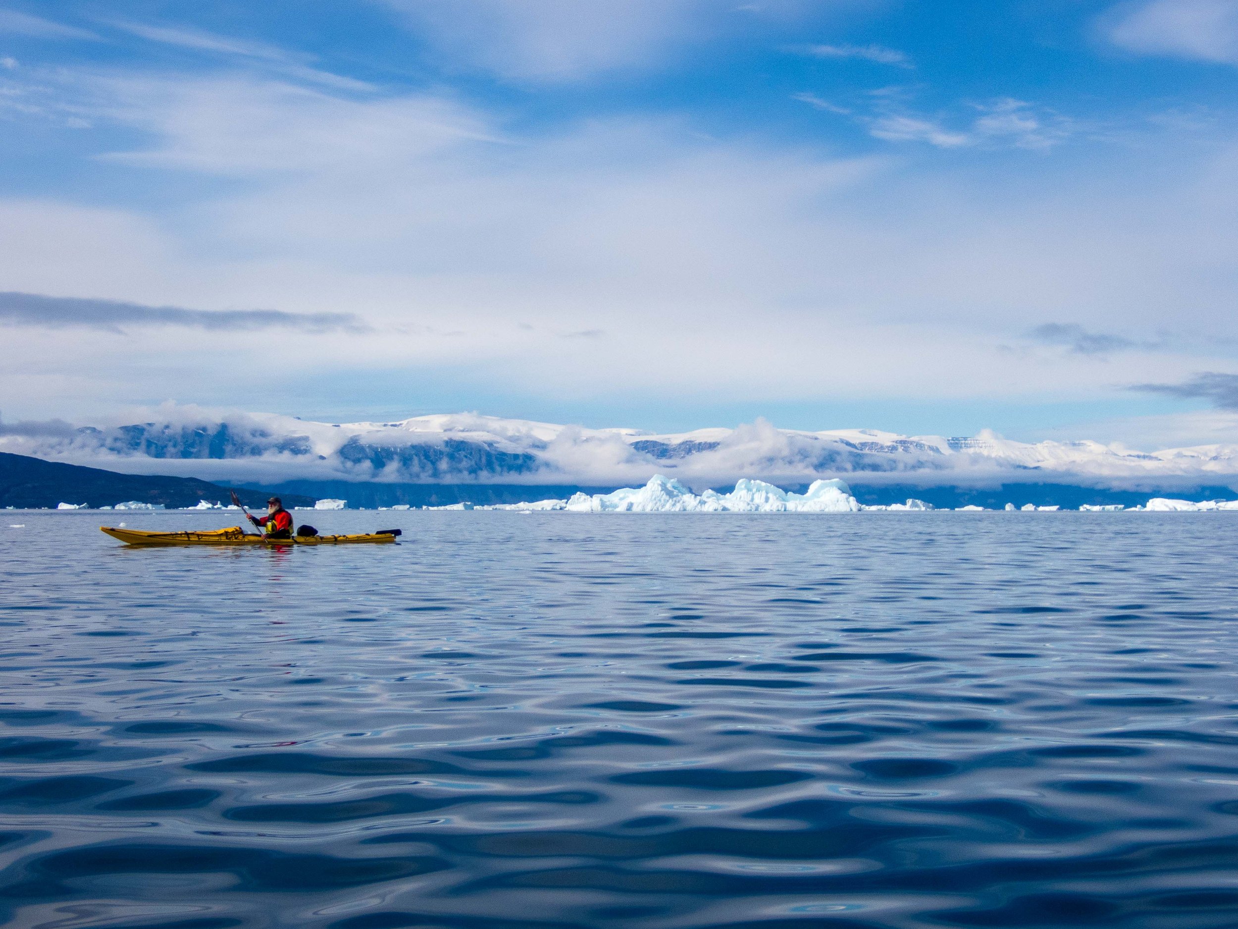
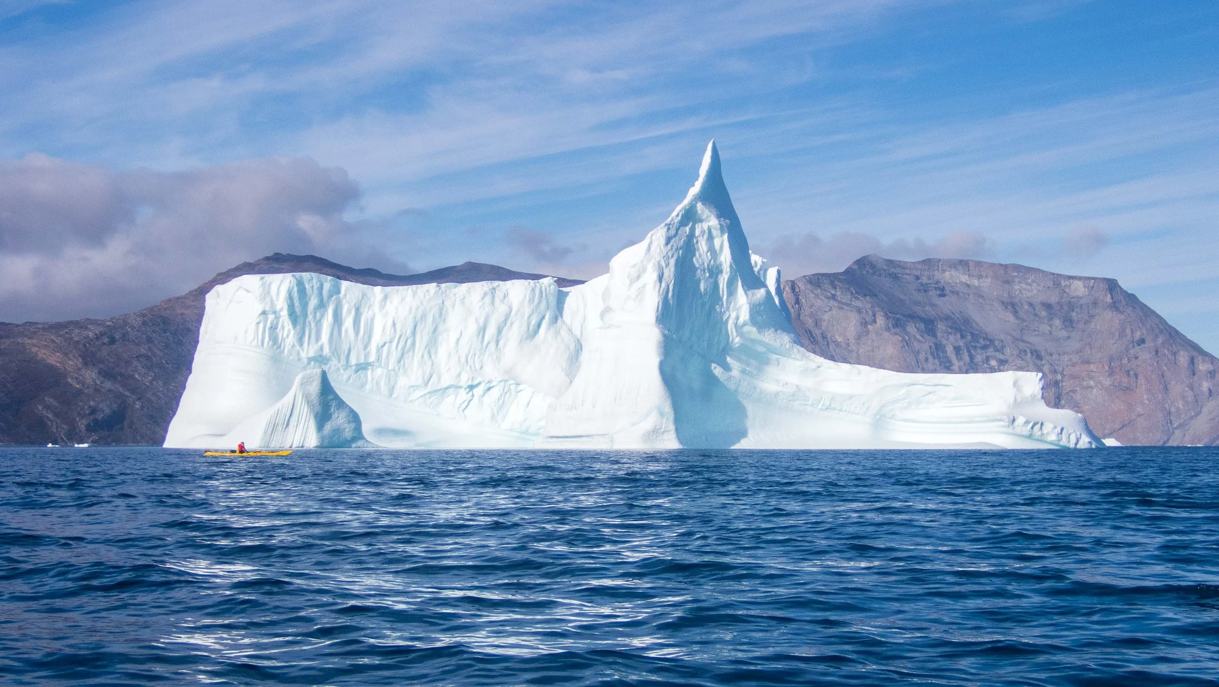
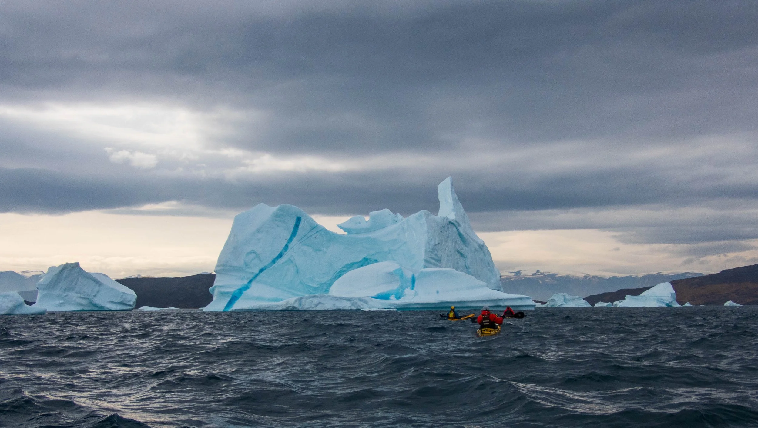
We launched from Uummannaq in warm layers under our drysuits, and were immediately stunned by the sizes of the cliffs and icebergs in the bay. We paddled at a leisurely pace to Storoen and set up camp on the hillside after landing (with the assistance of our guides) on a rocky ledge. Guðni had brought a Hilleberg yurt on the trip, which proved to be wonderful for group meals in cold and rainy days.
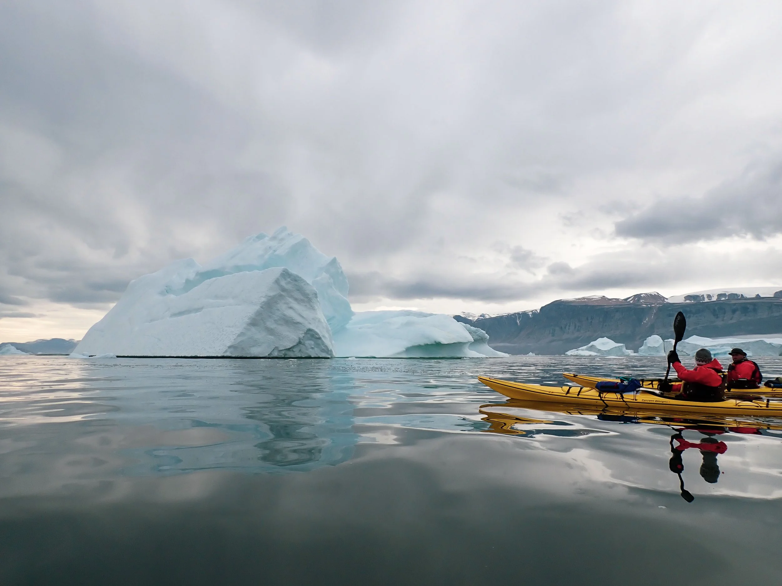
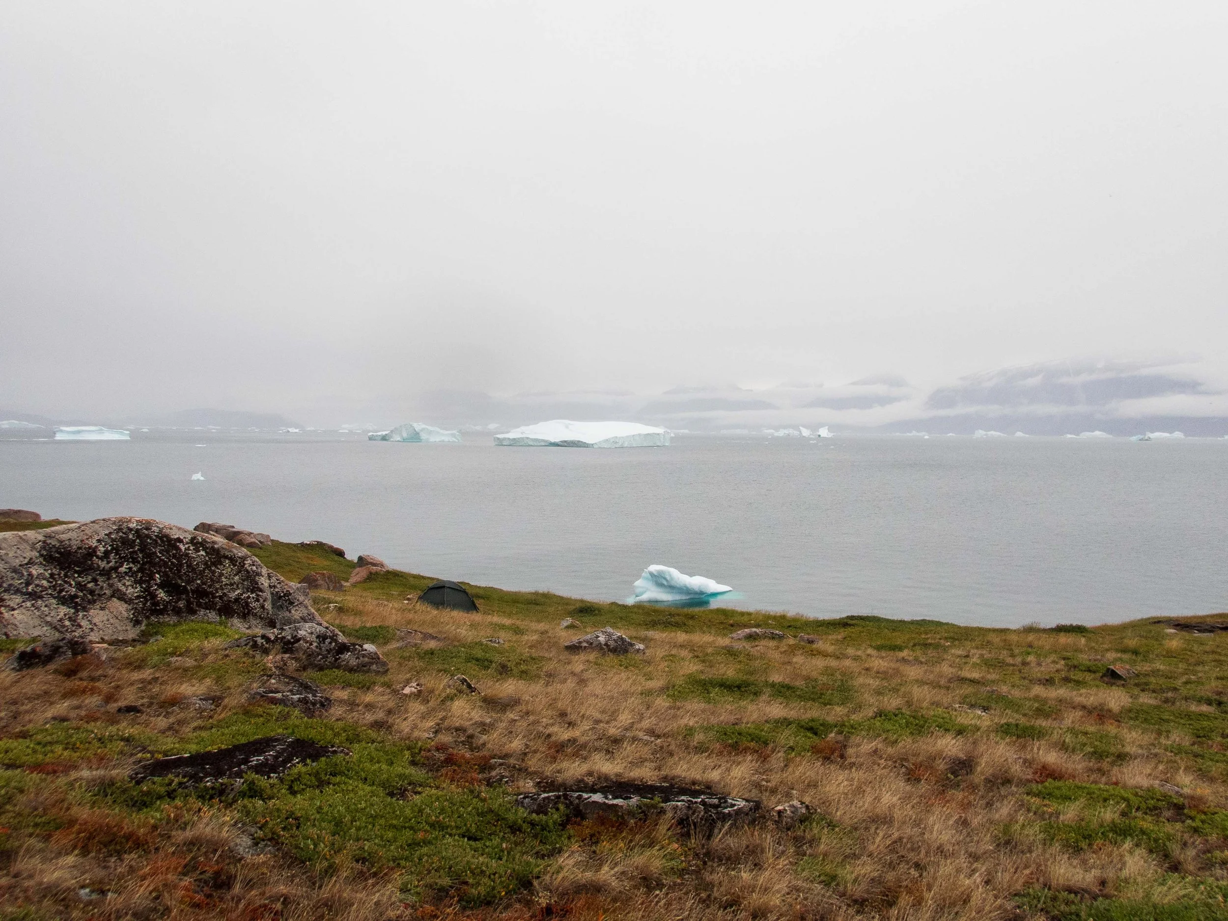
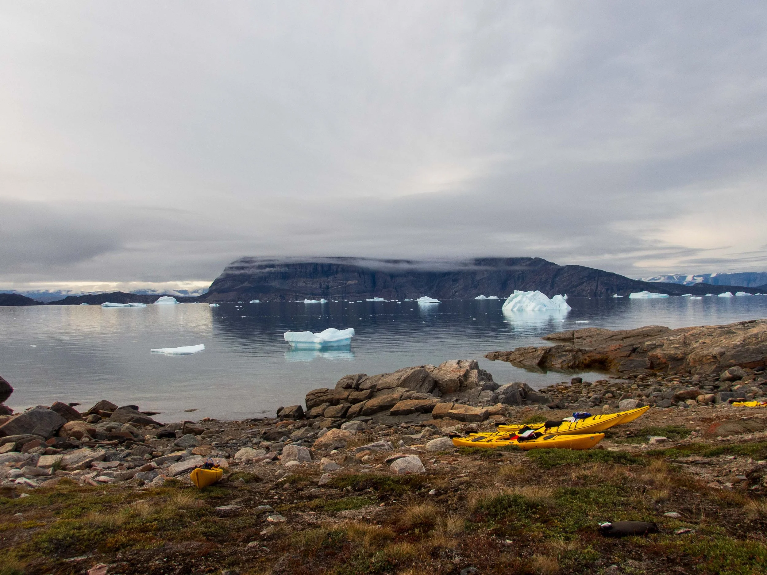
It rained overnight on our first night, and John and Guðni were in no hurry to launch in the rainy conditions. They seemed more concerned about packing up the wet gear (the yurt in particular) than the sea state, which was very calm with no wind. Even with a late launch, we had a relaxing lunch stop near a dynamic waterfall on Storoen before continuing east to the little island of Ugpatege.
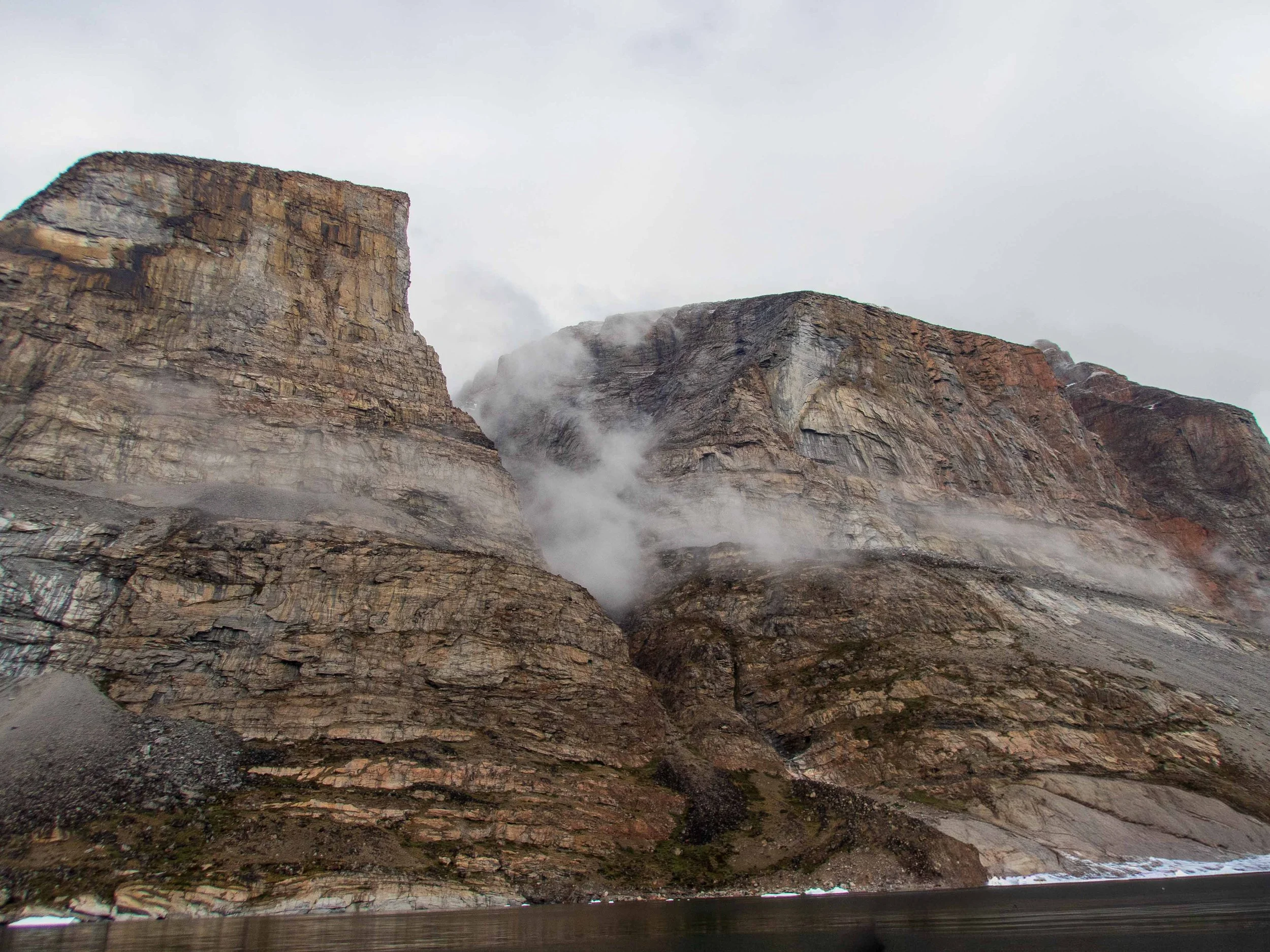
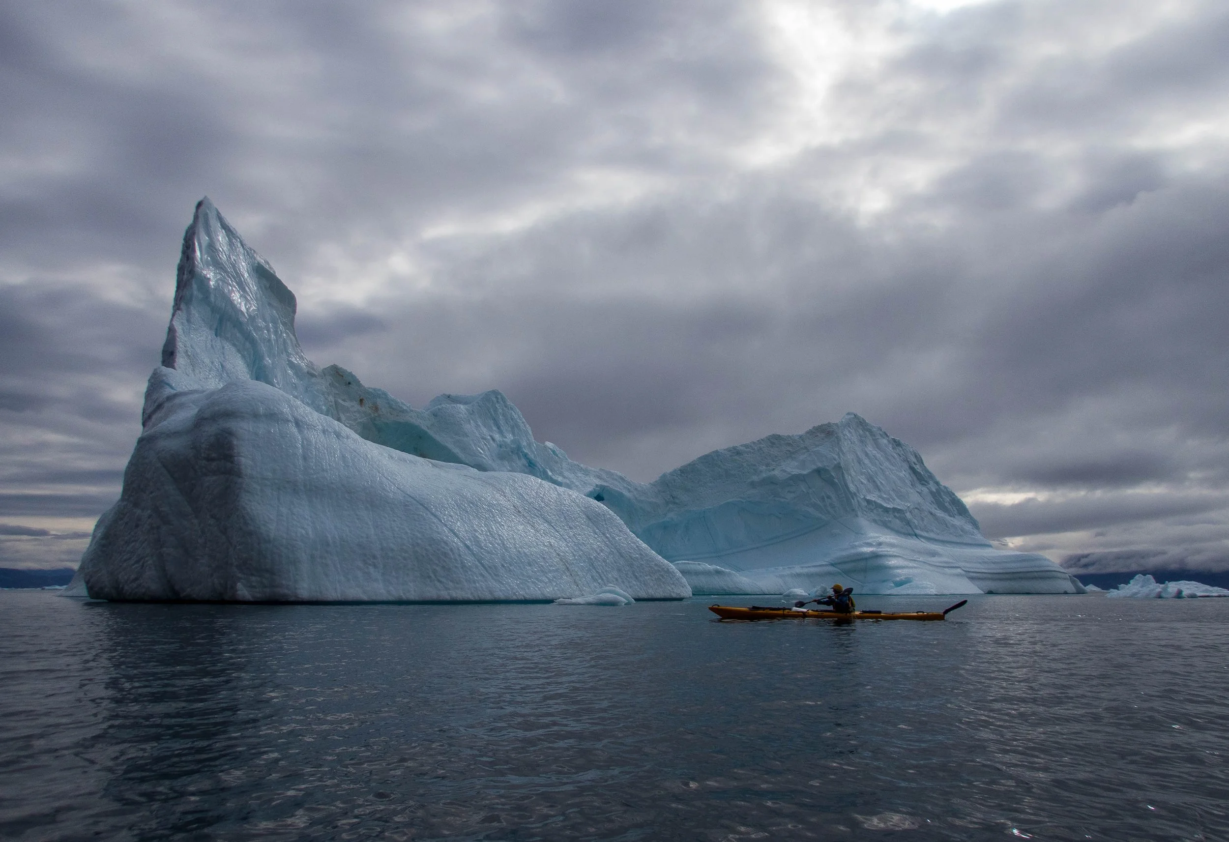
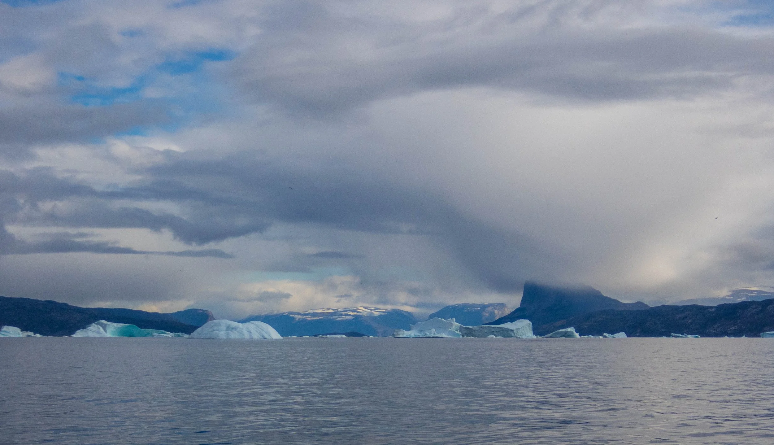
Day 3,4: Ugpatege Island to Amamakavsak and Akuliarusinguaq Nordleq - 14.6 nmi, 27 km.
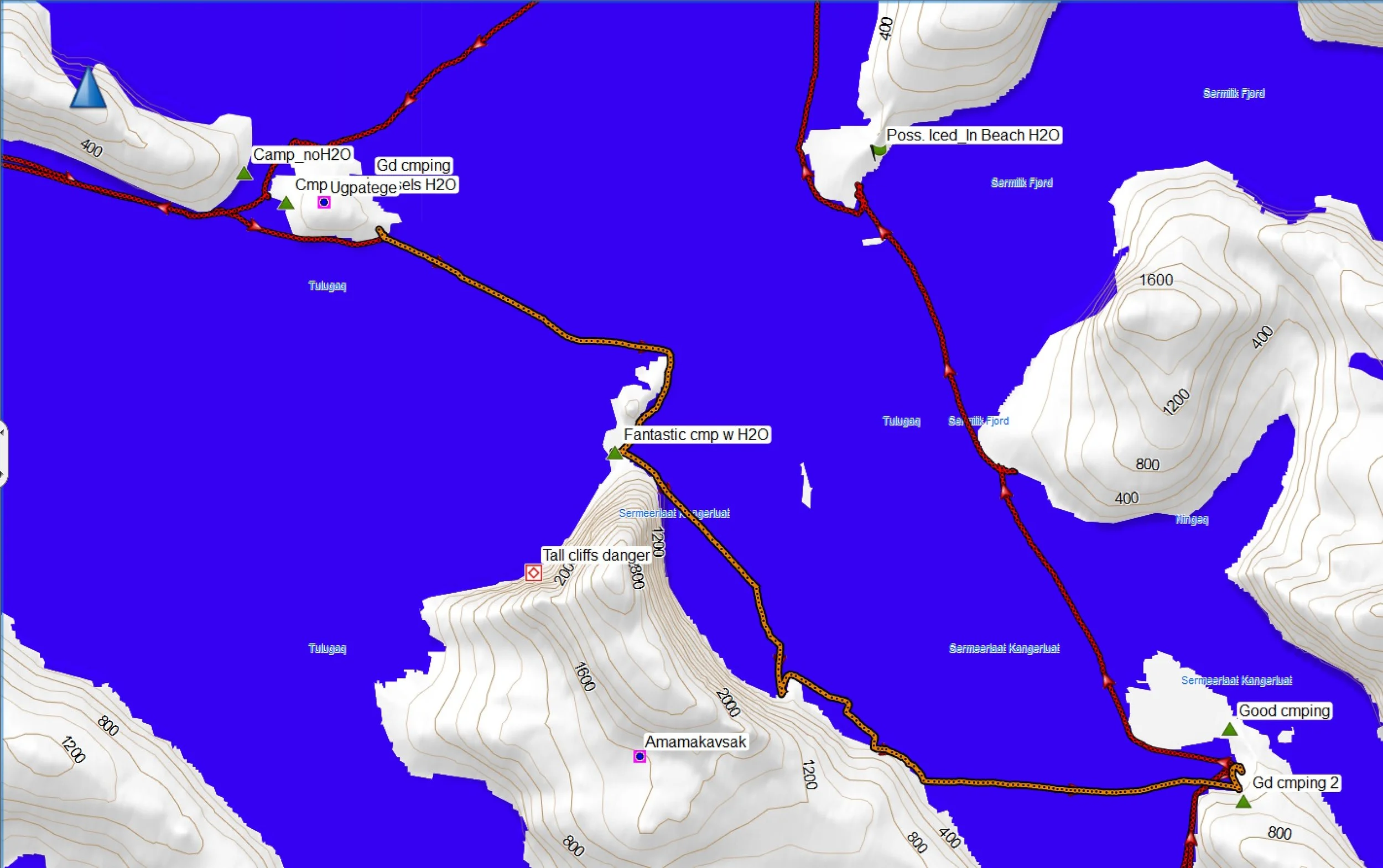
The weather was favorable with minimal wind. We had a relaxing paddle southeast to the Amamakavsak peninsula, quite a short paddling day. I saw lots of northern fulmars, a few pigeon guillemots and a white-bellied cormorant, as well as a possible red-necked phalarope. The landing on the Amamakavsak peninsula was easy, and John and Guðni set off on a heroic climb up the cliffs for water, as the season seemed to be more dry than usual.
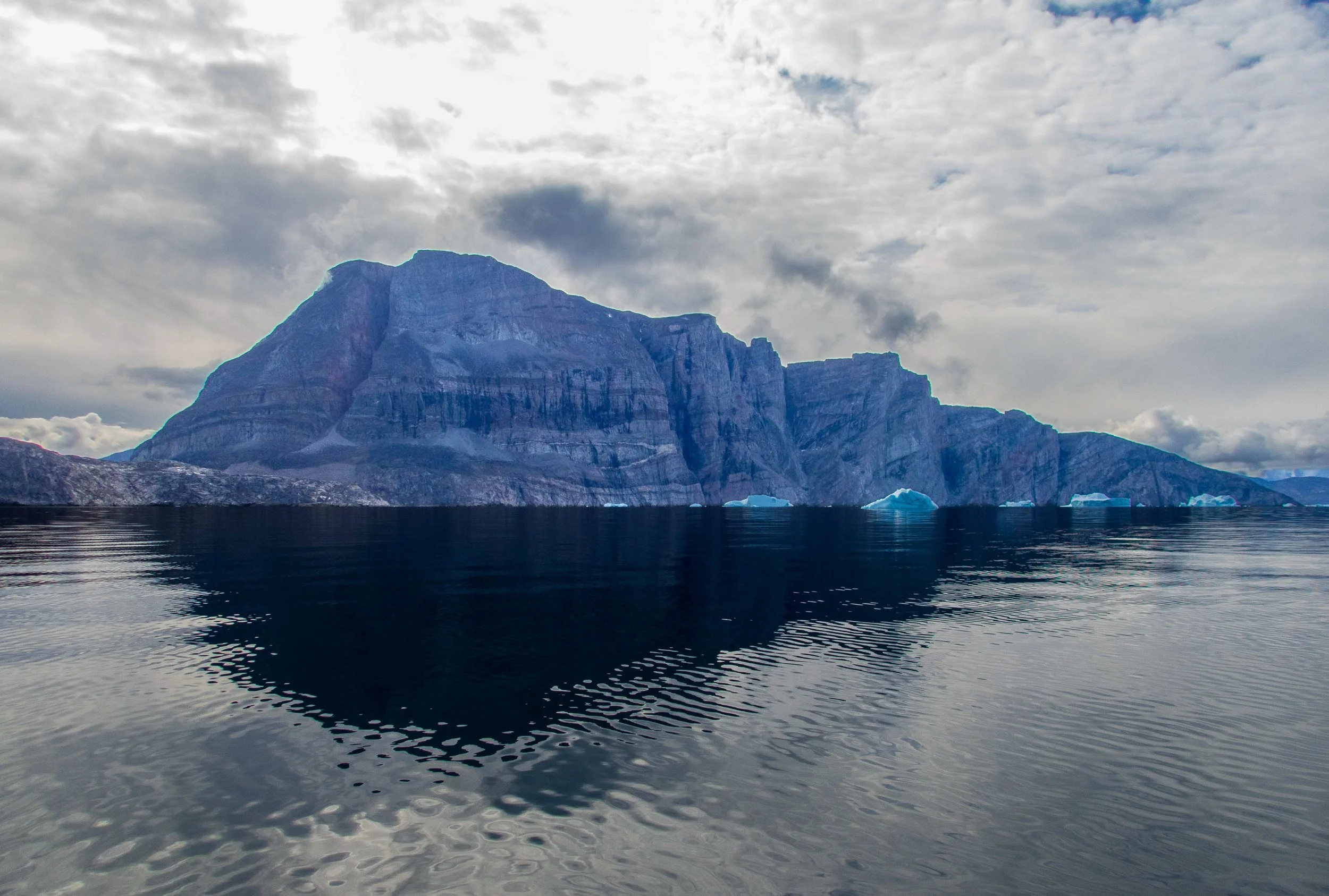
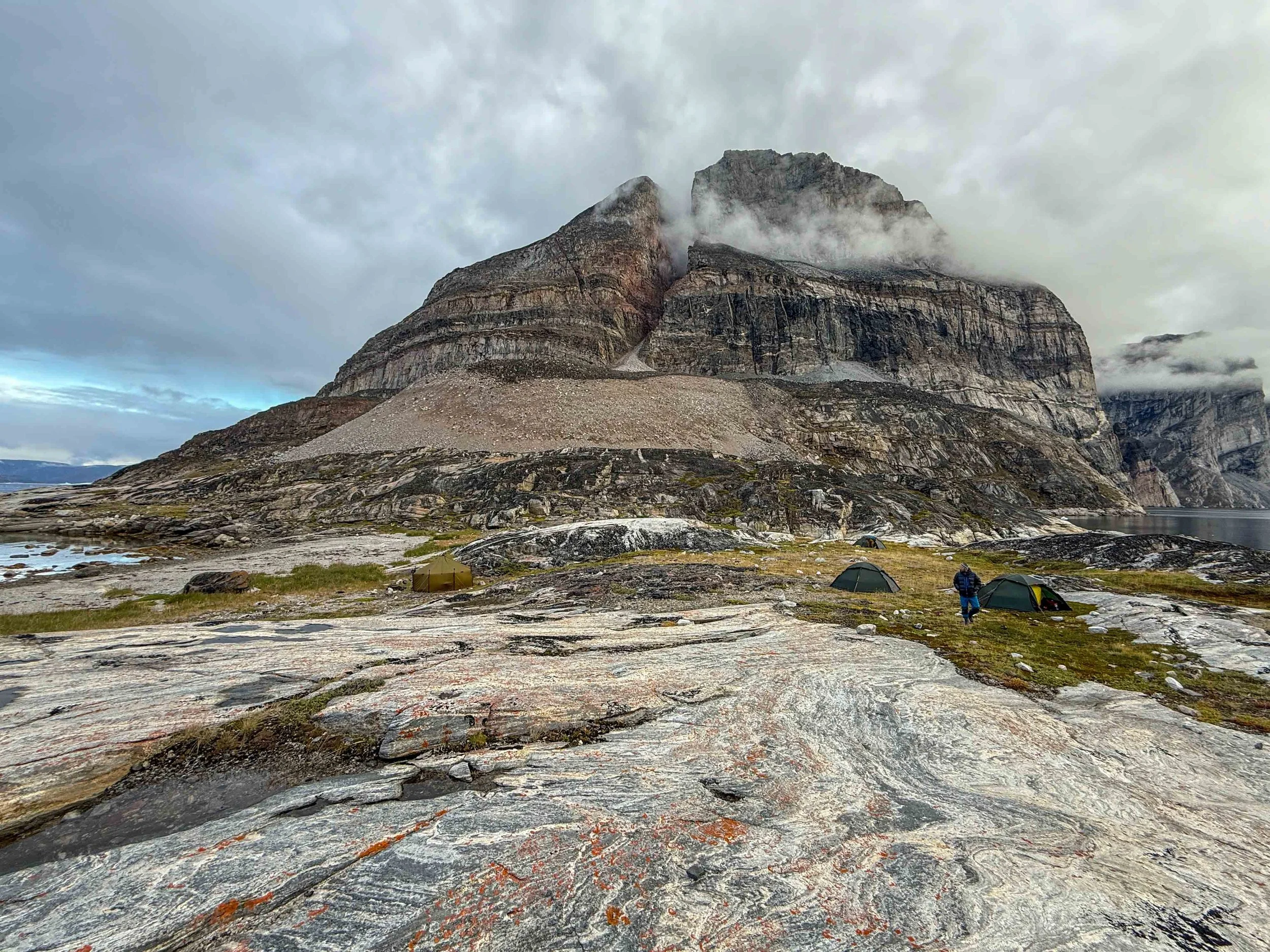
Although there was a light rain the next morning, we had a leisurely breakfast and launch to paddle southeast along the Amamakavsak cliffs before crossing to the small protected bay north of Akuliarusinguaq Nordleq. I made a couple detours to look for fresh water, but it turned out that there was some quite near the campsite. We now had the opportunity to venture into territory that Guðni had not yet paddled, which added to my sense of adventure! Our plan was to stay here for two nights, and spend the next day having a relaxing day paddle to a lake that sat in a bowl on the peninsula.
Day 5,6: Akuliarusinguaq Nordleq Day Paddle to Lake - 7.7 nmi, 14.3 km; Akuliarusinguaq to Augpilagtaq Sermigdlip Fjord 8.3 nmi, 15.4 km
AKULIARUSINGUAQ LAKE DAY PADDLE SLIDESHOW
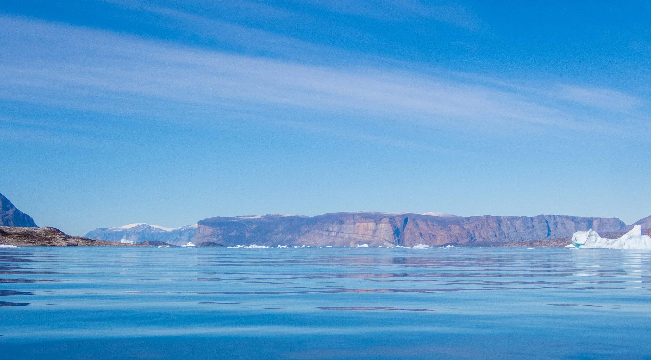
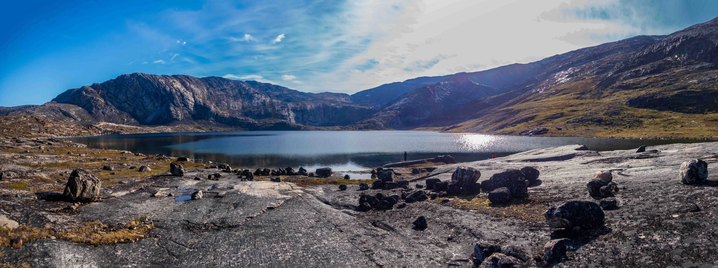
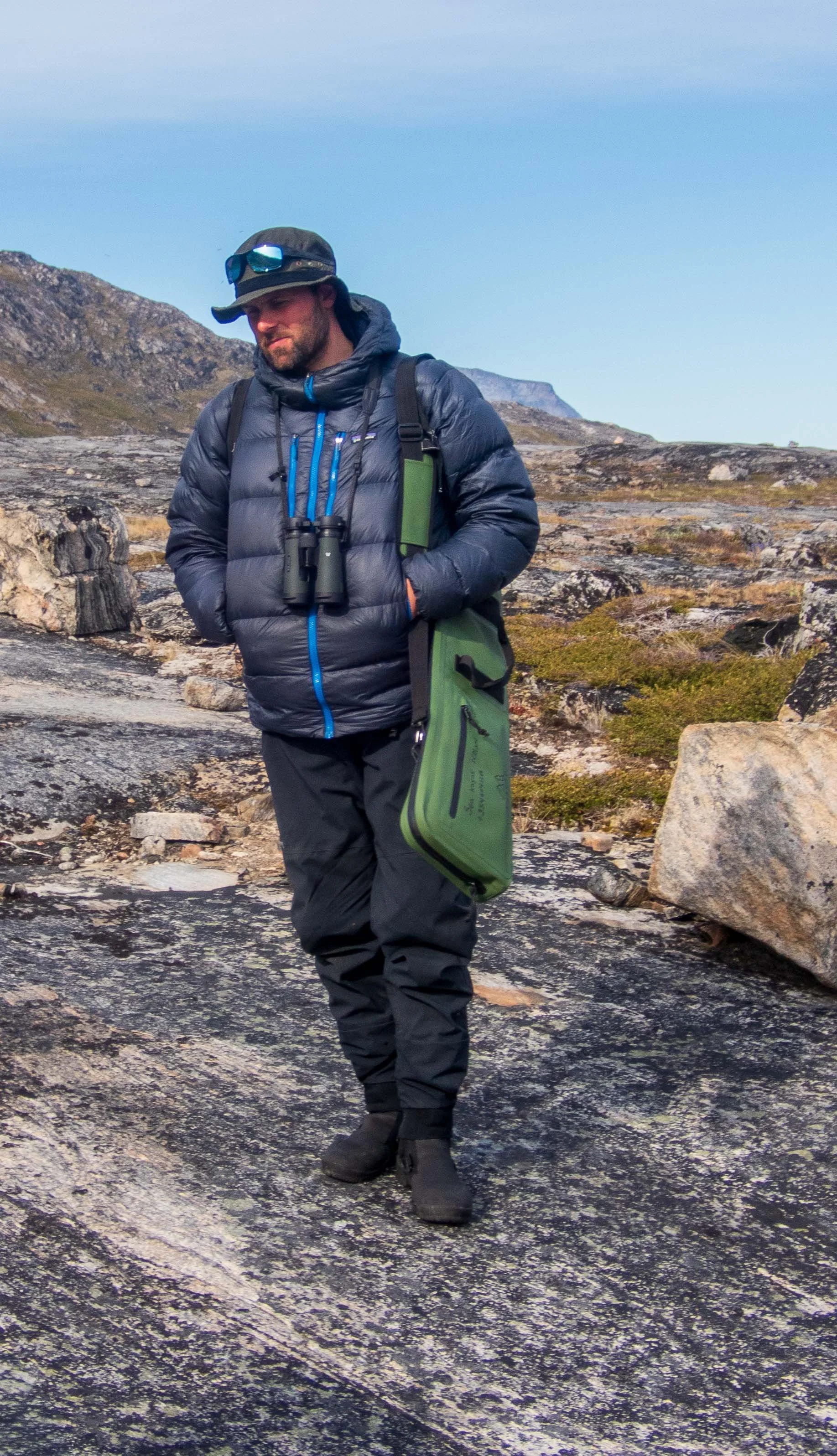
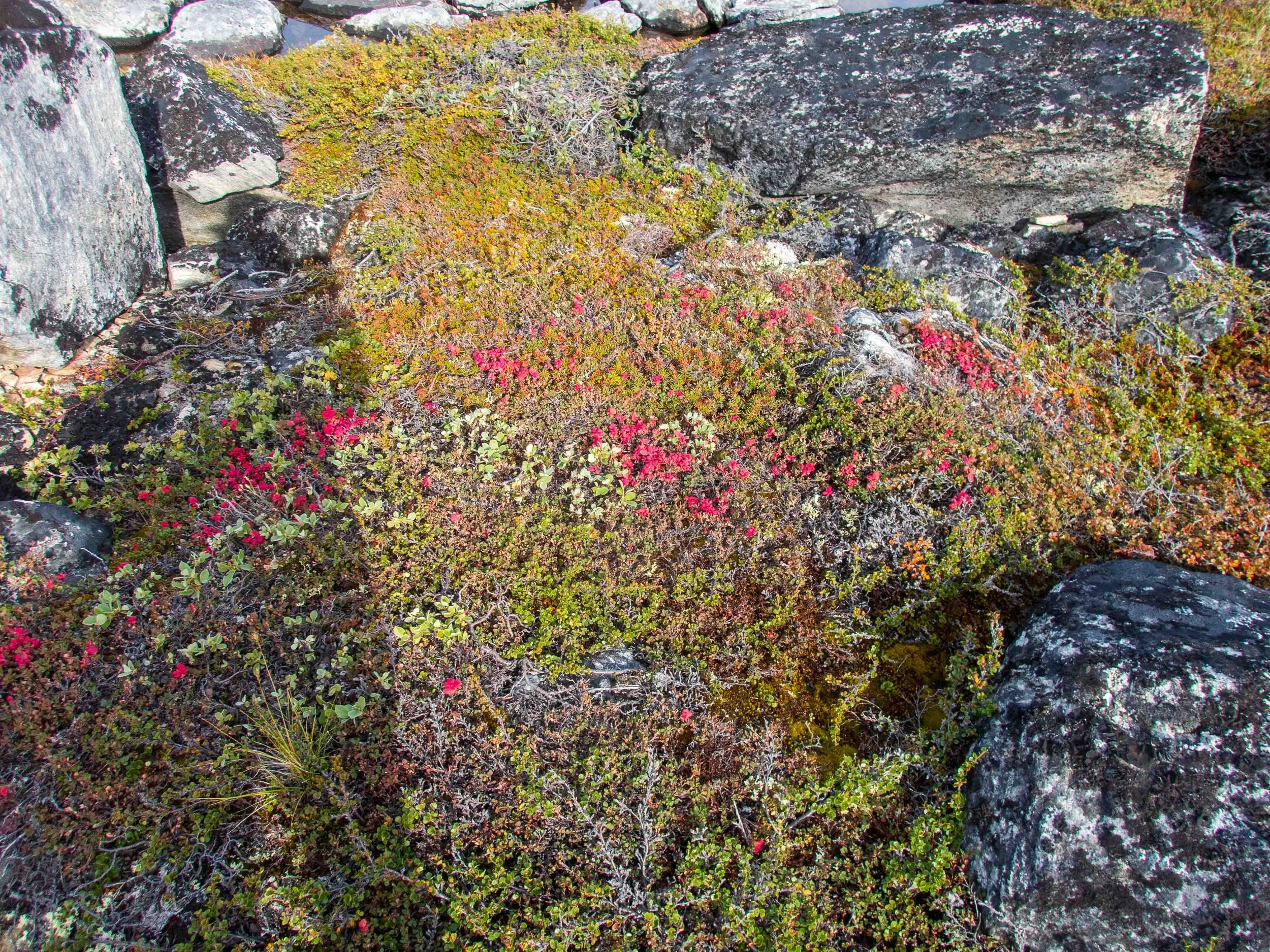
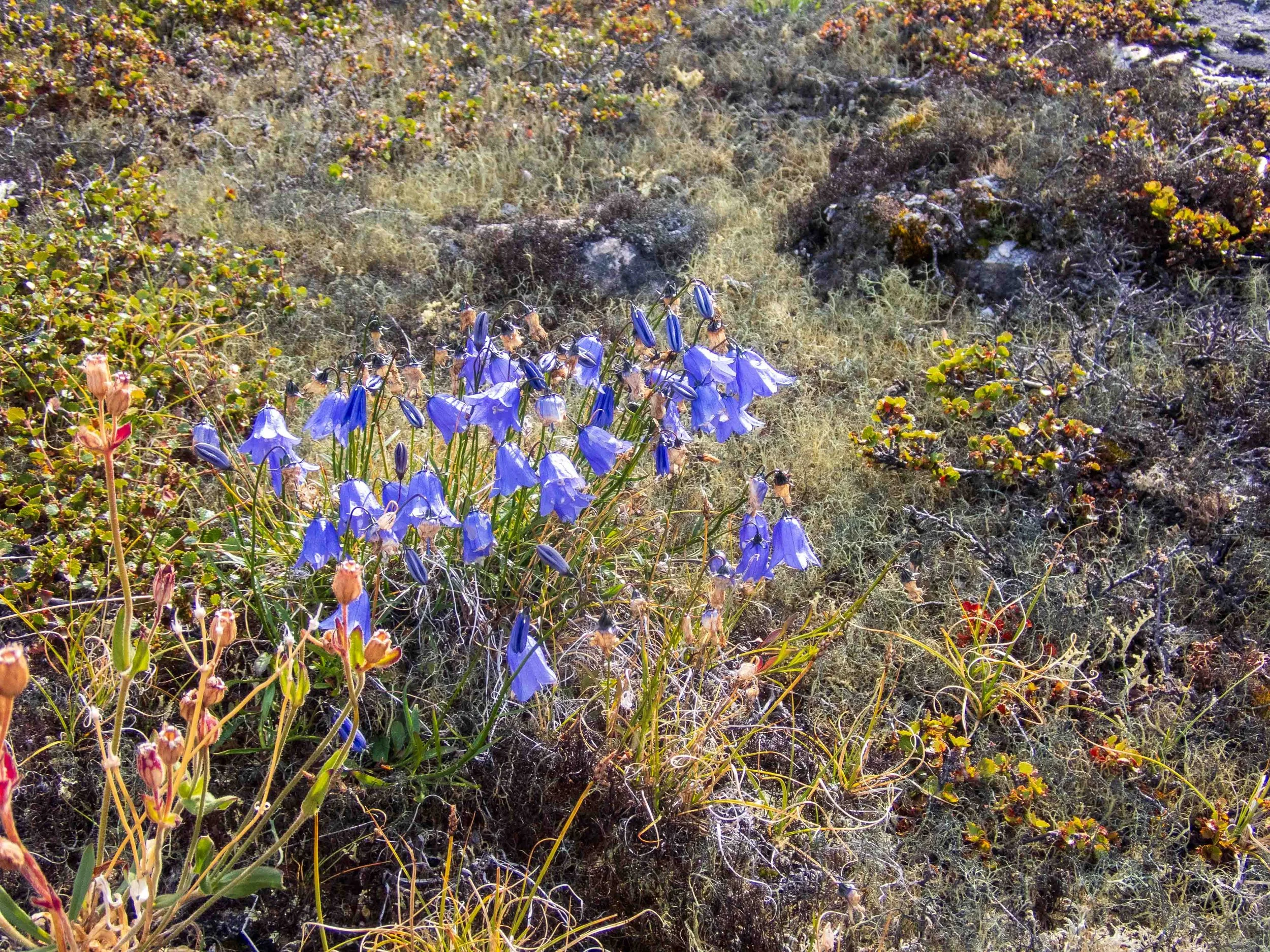
After our relaxing outing to the lake, we returned to our basecamp. Some of us paddled a ‘secret passage’ opened by a higher tide back to the bay. We had dinner and prepared for our paddle the next day to the opening of the Sermigdlip fjord. It was quite a bit colder at night, (0° C.) with frost on our camp objects in the morning. We all had plenty of warm clothes, so slept fine.
The weather was favorable for our ~ 9 nmi paddle to the mouth of the Sermigdlip fjord, with only a slight headwind. However, the forecast for the next day was for cold rain, and it was decided to take a rest day and a possible hike instead of paddling into the rain for more than 12 nmi round trip to get a closer look at the glacier. We all noticed that the cold weather seemed to sap our energy far more than we were used to, as the mileages on the trip had been relatively short.
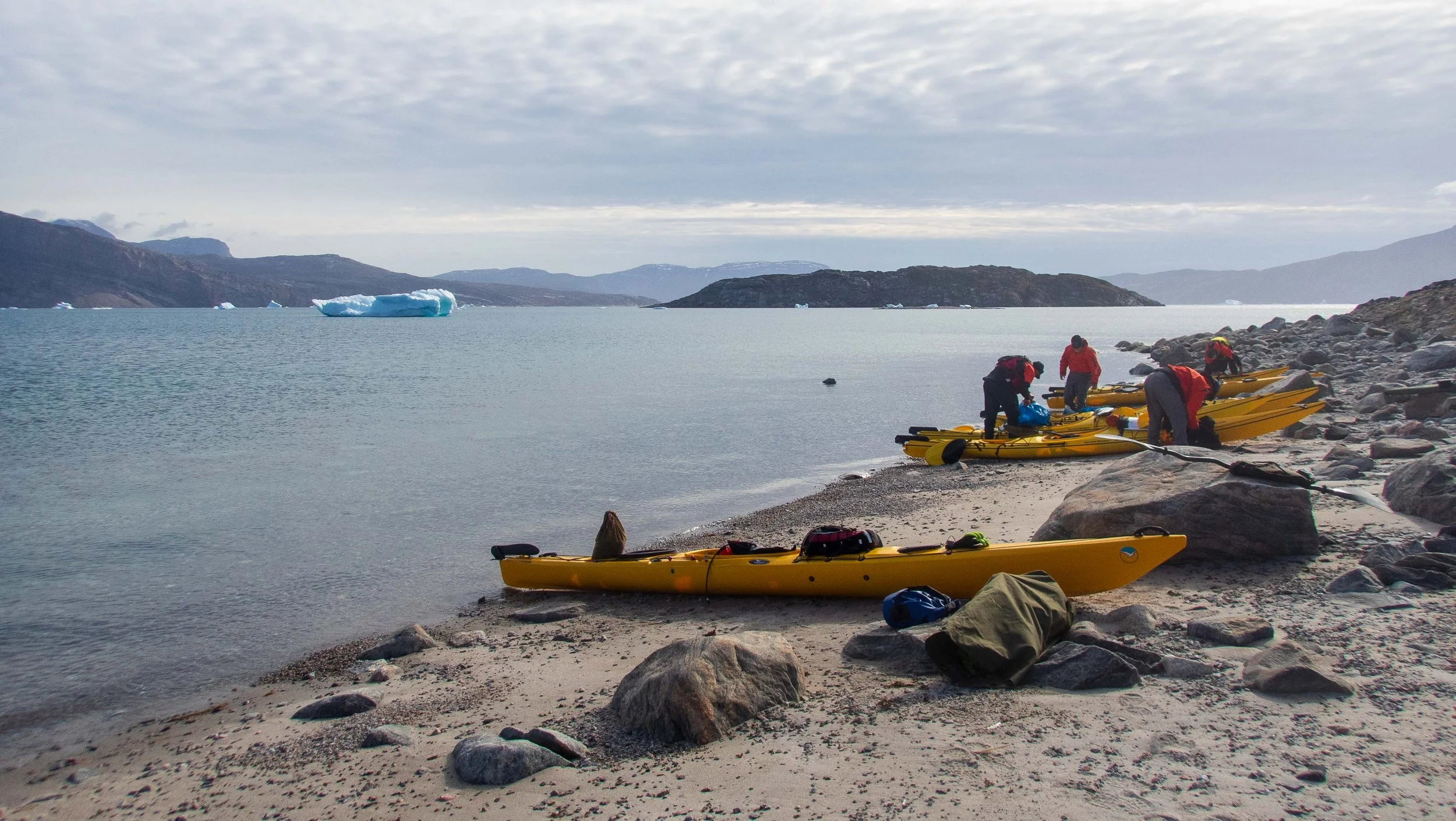
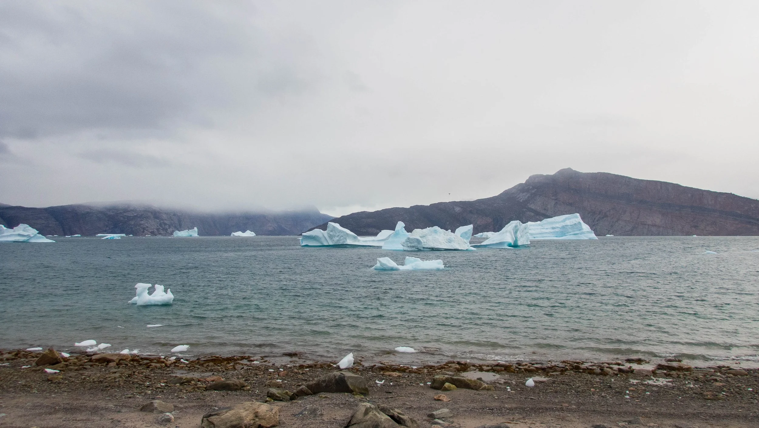
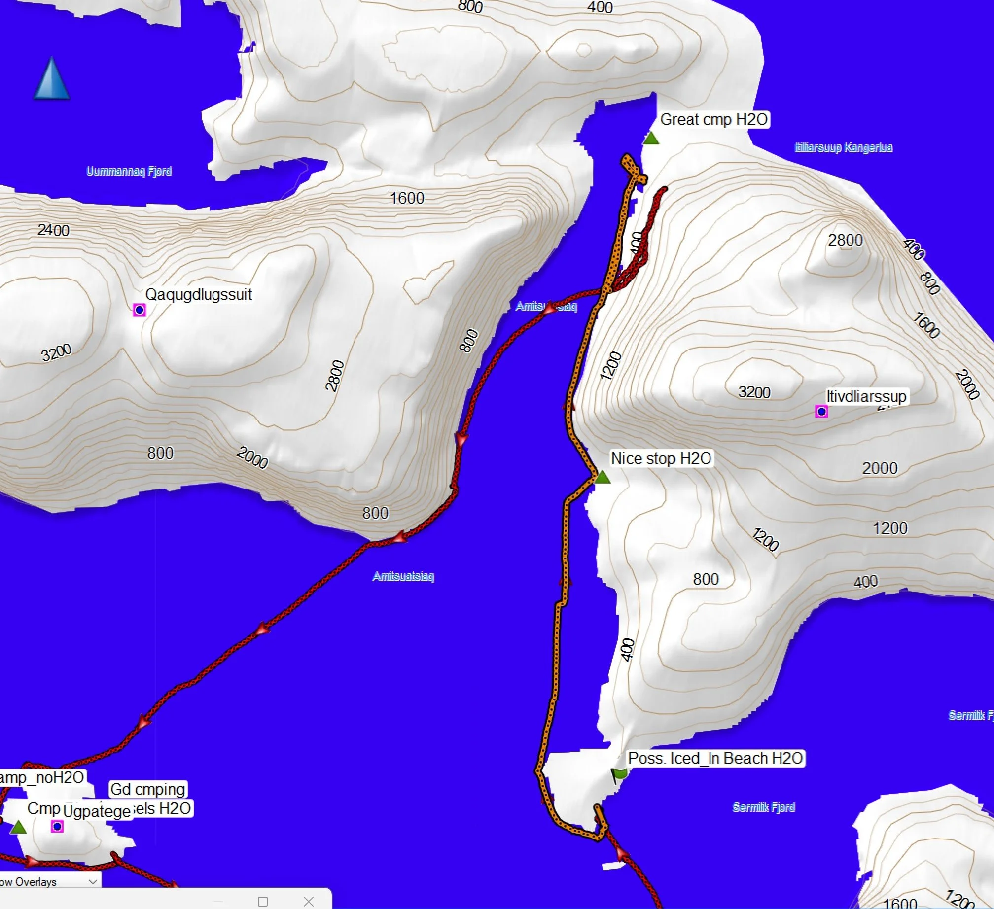
Day 7,8,9: Rest day and Around the Corner to Amitsasuiaq - 10.1 nmi, 18.7 km.
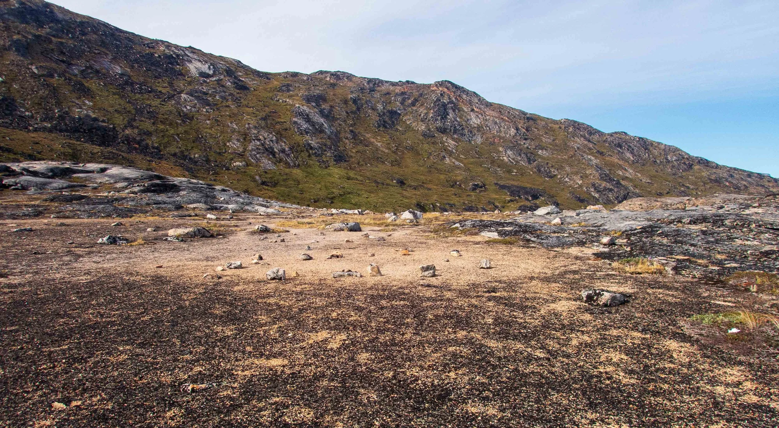
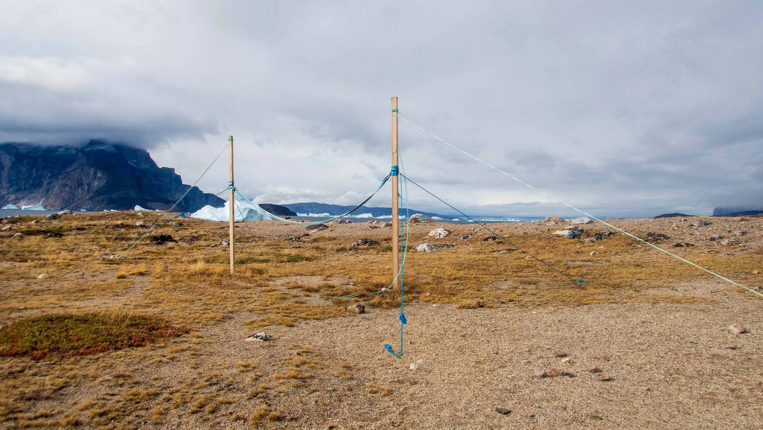
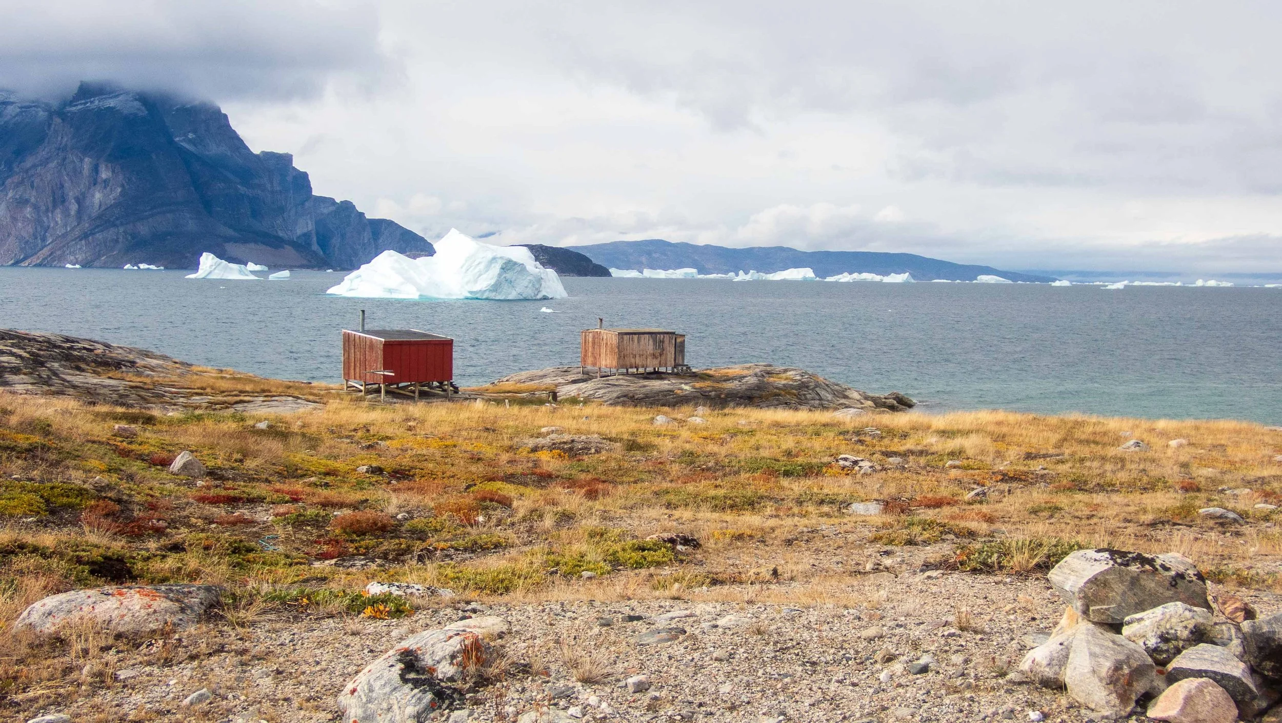
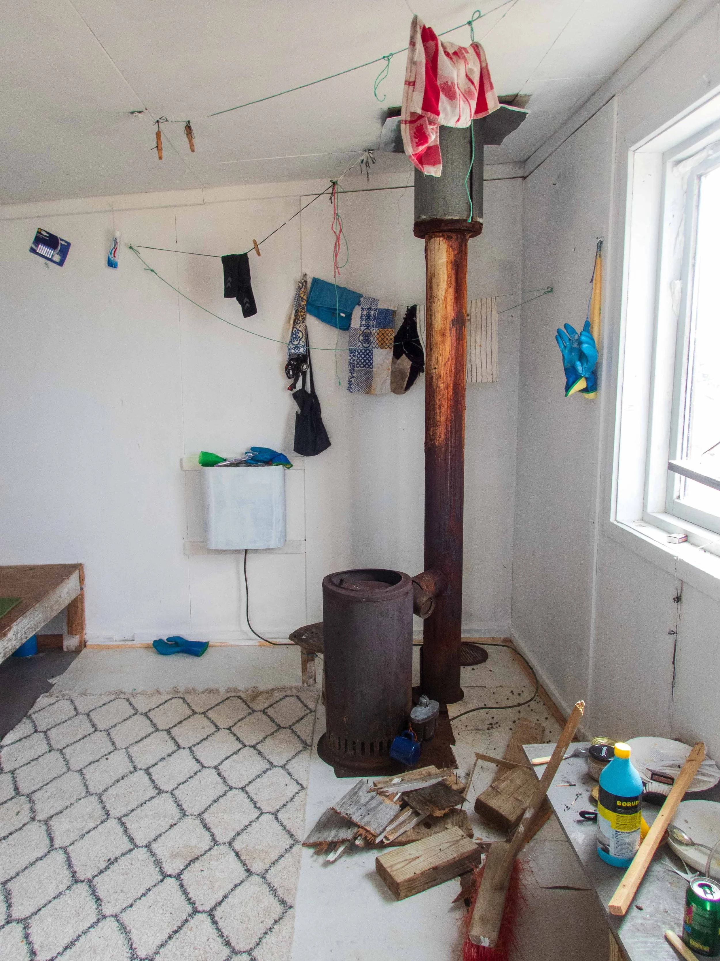
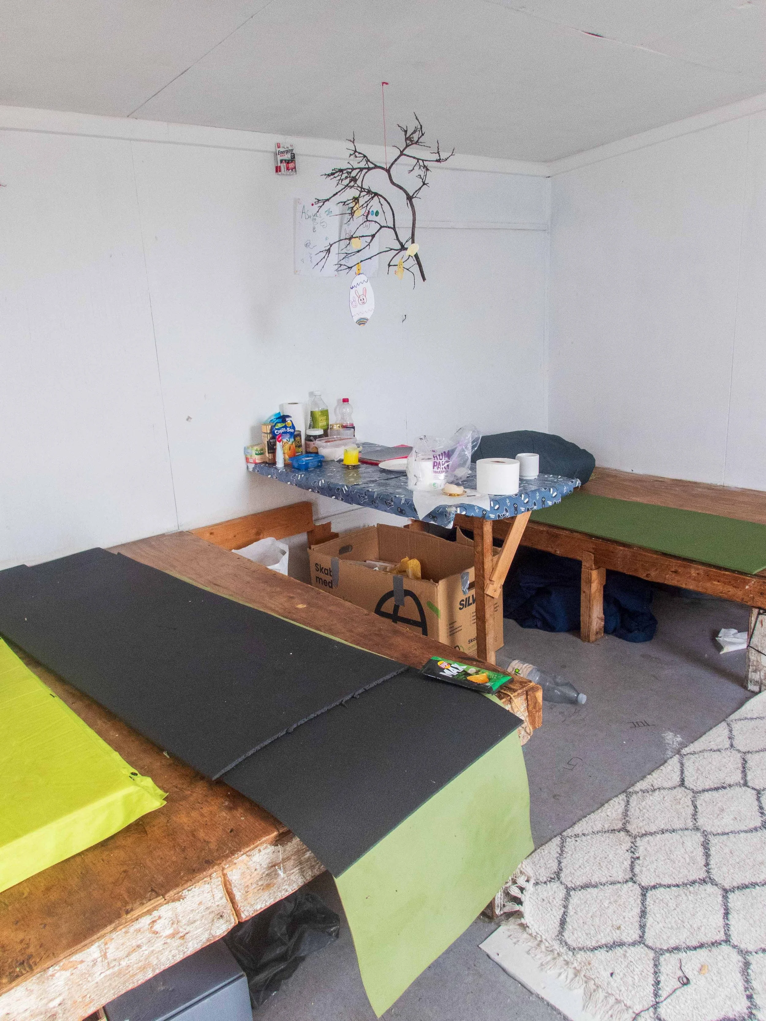
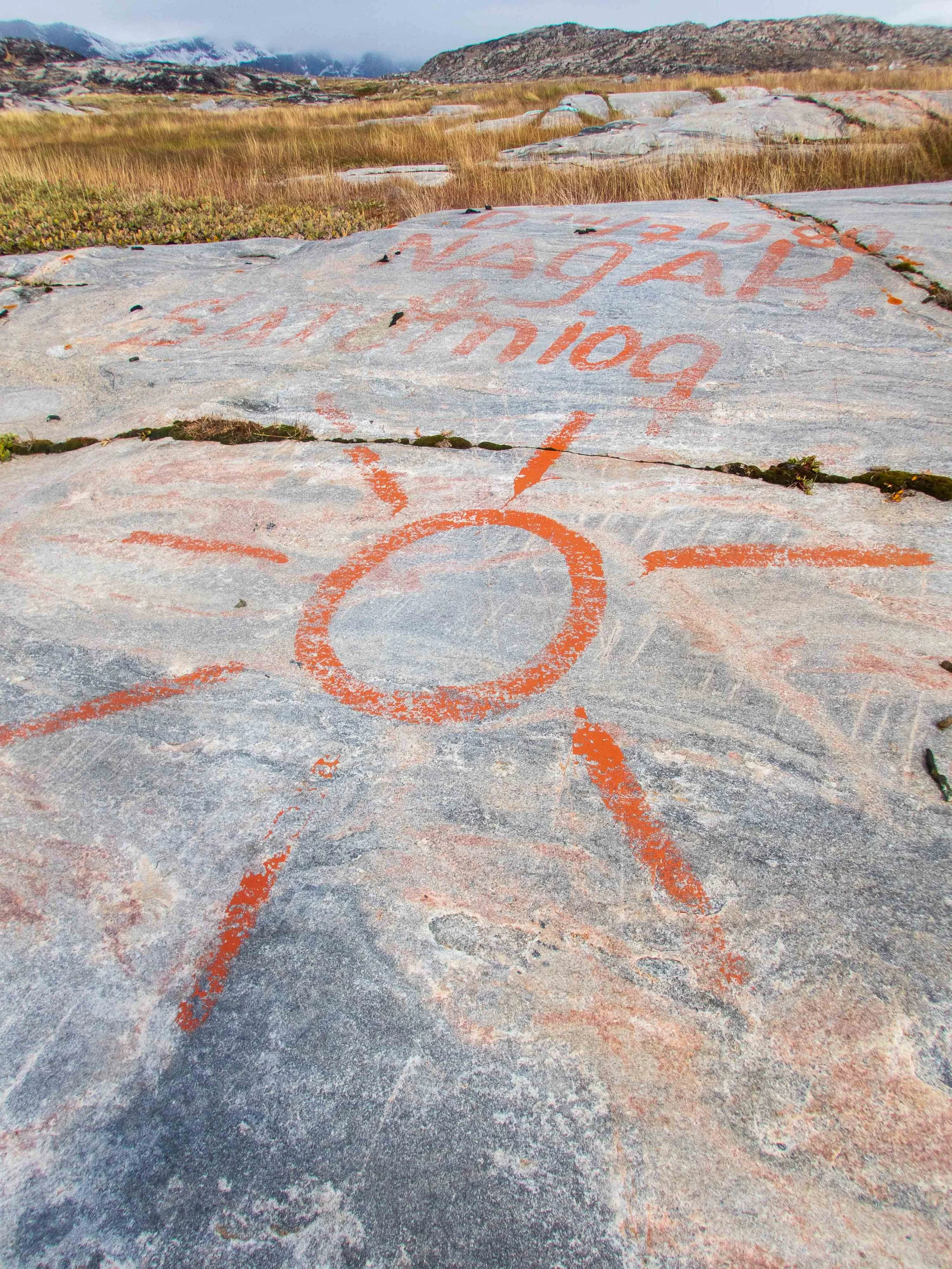
The morning was rainy, windy and cold! After a late breakfast, the rain let up a bit and Carl and I went for a walk to see the structures on the peninsula of our campsite. The area was apparently visited by fishermen and hunters as a small outpost. Afterward, I rested and read in my tent while the icebergs calved noisily outside my tent. Throughout the trip, the nights were filled with roars that sounded like cannon blasts as the huge icebergs calved or released their air. The noise and dynamics added to the surreal atmosphere.
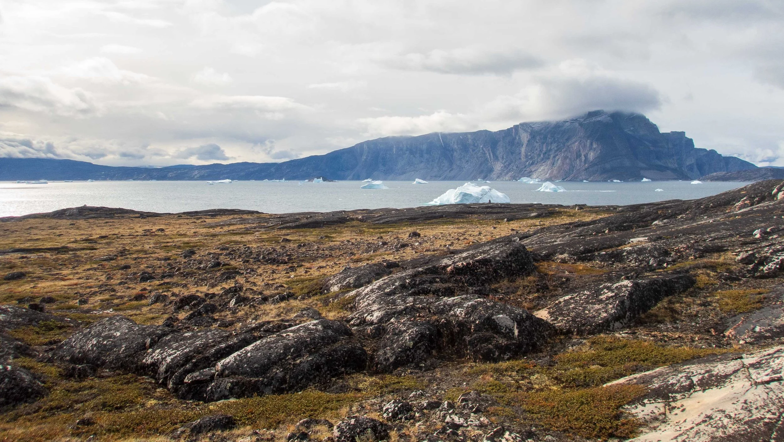
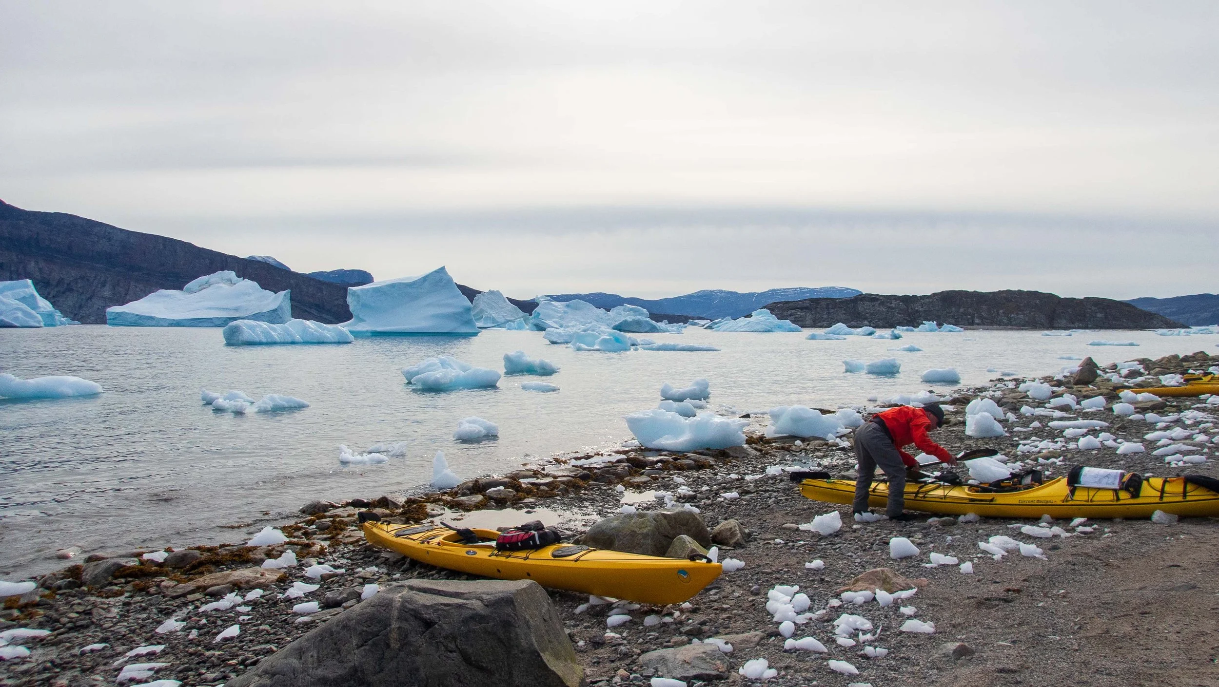
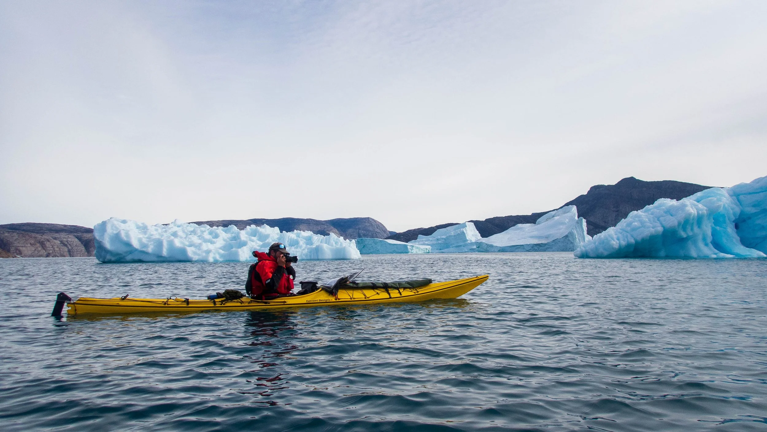
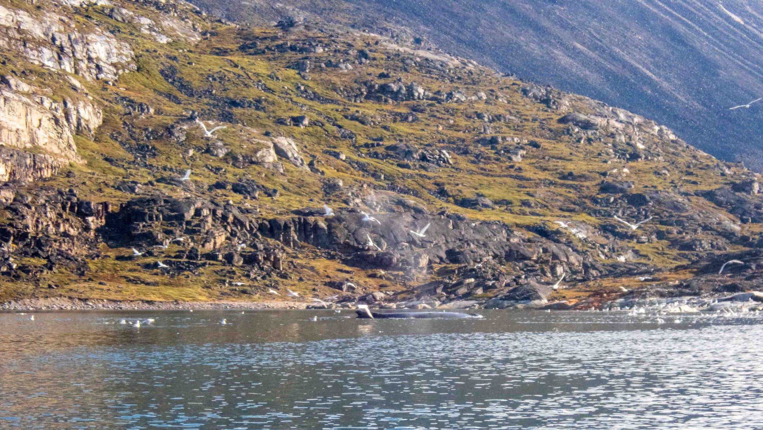
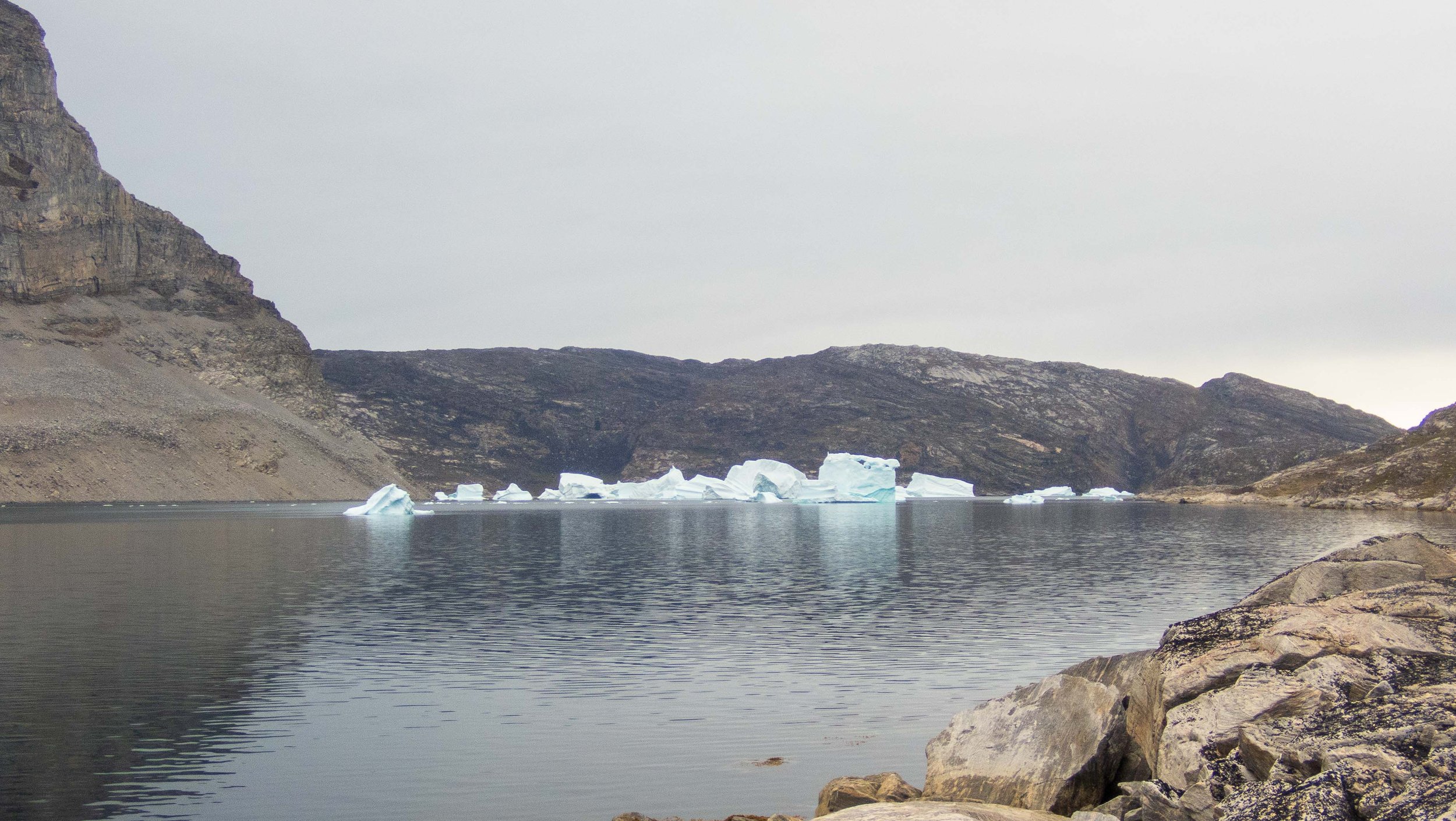
Overnight, the katabatic winds picked up, causing the yurt tent to completely collapse. In the morning, Guðni announced that we’d be moving camp due to the risk of getting iced in. John and Peggy had been busily melting icebergs for water, as there were no streams nearby. At first our plan was to head back to our second camp, but when we realized we’d have an extra day, Guðni instead suggested we turn right into the Amitsuasiaq bay. We were so glad we did! The bay was filled with birds and fish, and we saw three humpback whales (Carl’s first views). We paddled almost to the end of the bay in search of campsites. The shore at the end was too iced in, the shore on the left was quite steep and rocky, and the area at the end right was very boggy and buggy. We ended up returning to a nice area in the middle of the bay and camped on a hillside. This area was much warmer, likely due to protection from the wind and distance from glaciers. During the night, I could hear the humpbacks blowing. It turned out that wind must have picked up as well, because I was awoken at 3 a.m. by John, who had retrieved everyone’s cook gear when the yurt blew down again. They said they didn’t need help, but Guðni and John were up quite a while trying to re-anchor the yurt.
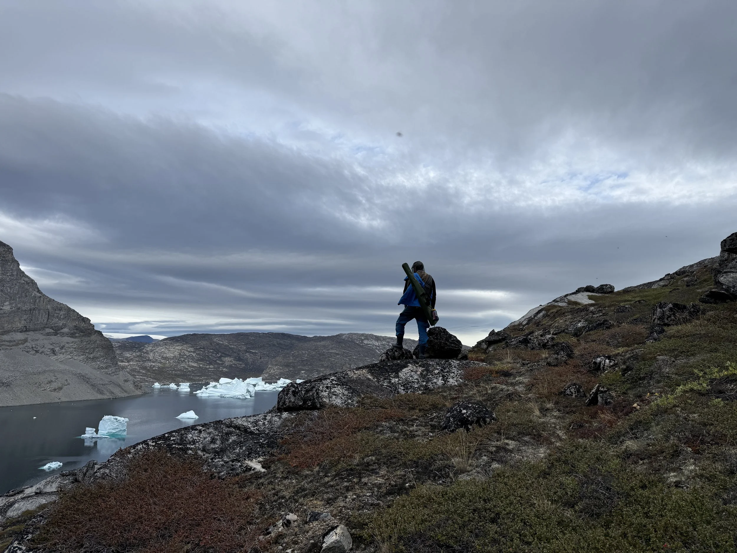
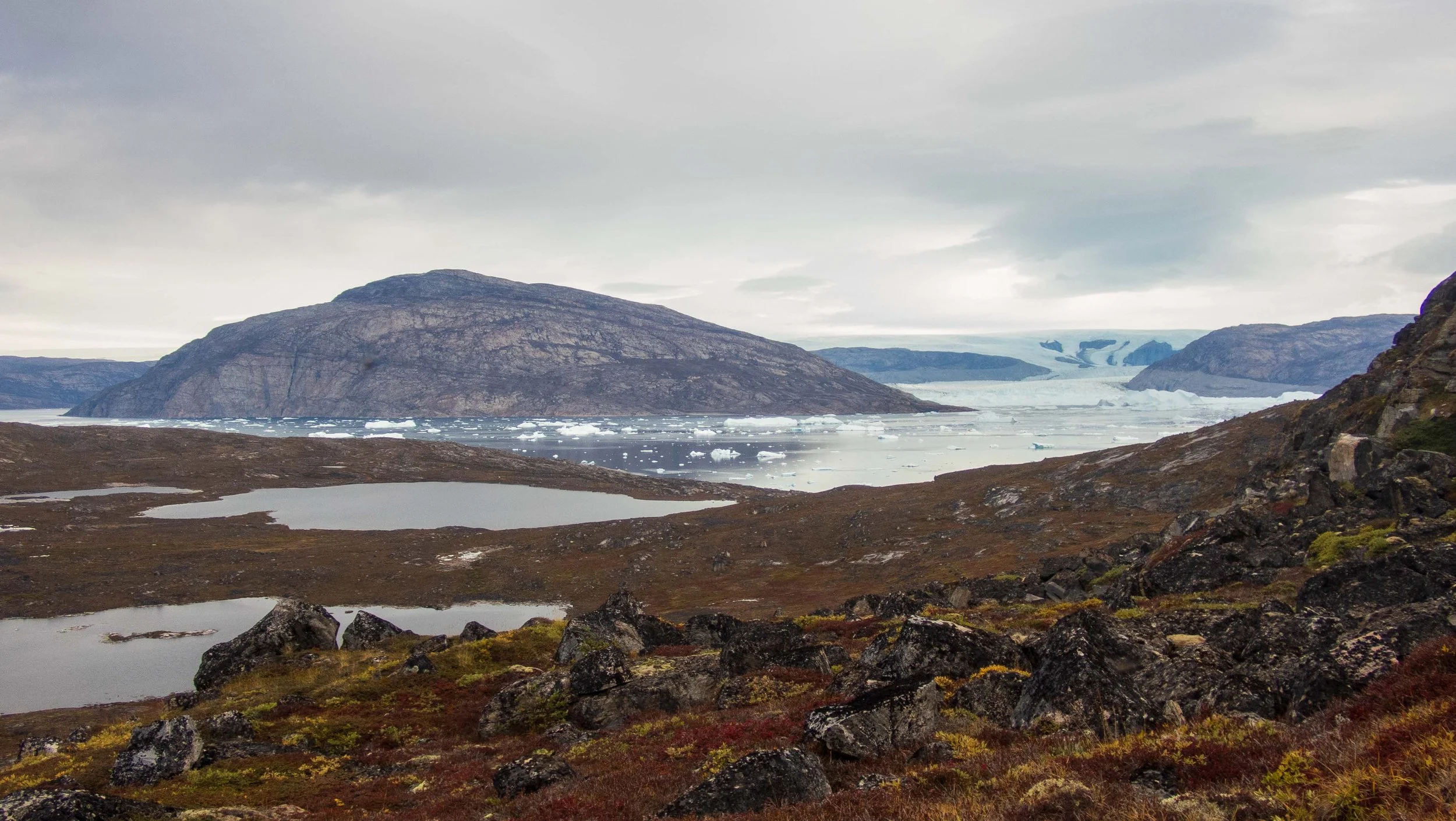
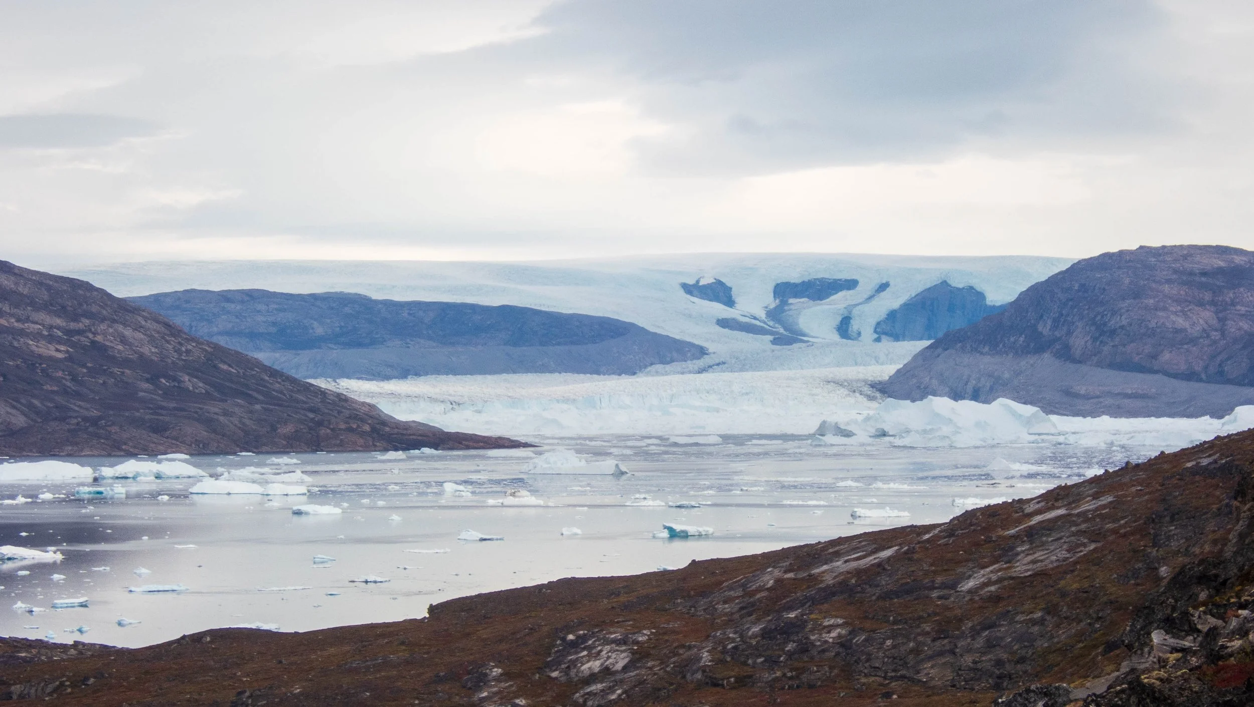
Our plan that next day was for a hike to see if we could view the Sermeq silardleq glacier north of us. During breakfast, we were treated to more views of the humpbacks cruising quite close to shore near us, and Carl captured a nice video. We then hiked up the fairly steep hill to an overview providing a view of the Sermeq glacier to our north. The area was buggy, but fortunately they weren’t biting. This was Carl’s first view of a glacier, and he was thrilled to have accomplished two of his hopes for the trip: to see a whale and a glacier.
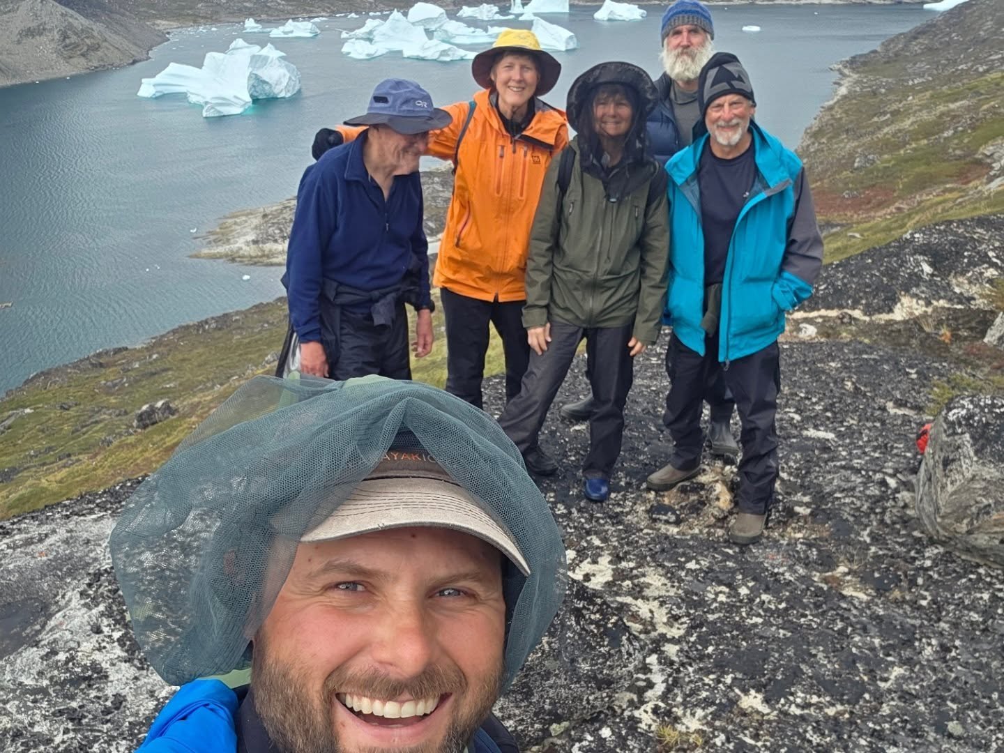
Group photo from the cliff top glacier overlook with Guðni as the photographer
Days 10,11: Amitsasuiaq to West Storoen Island: 14.7 nmi / 27.2 km
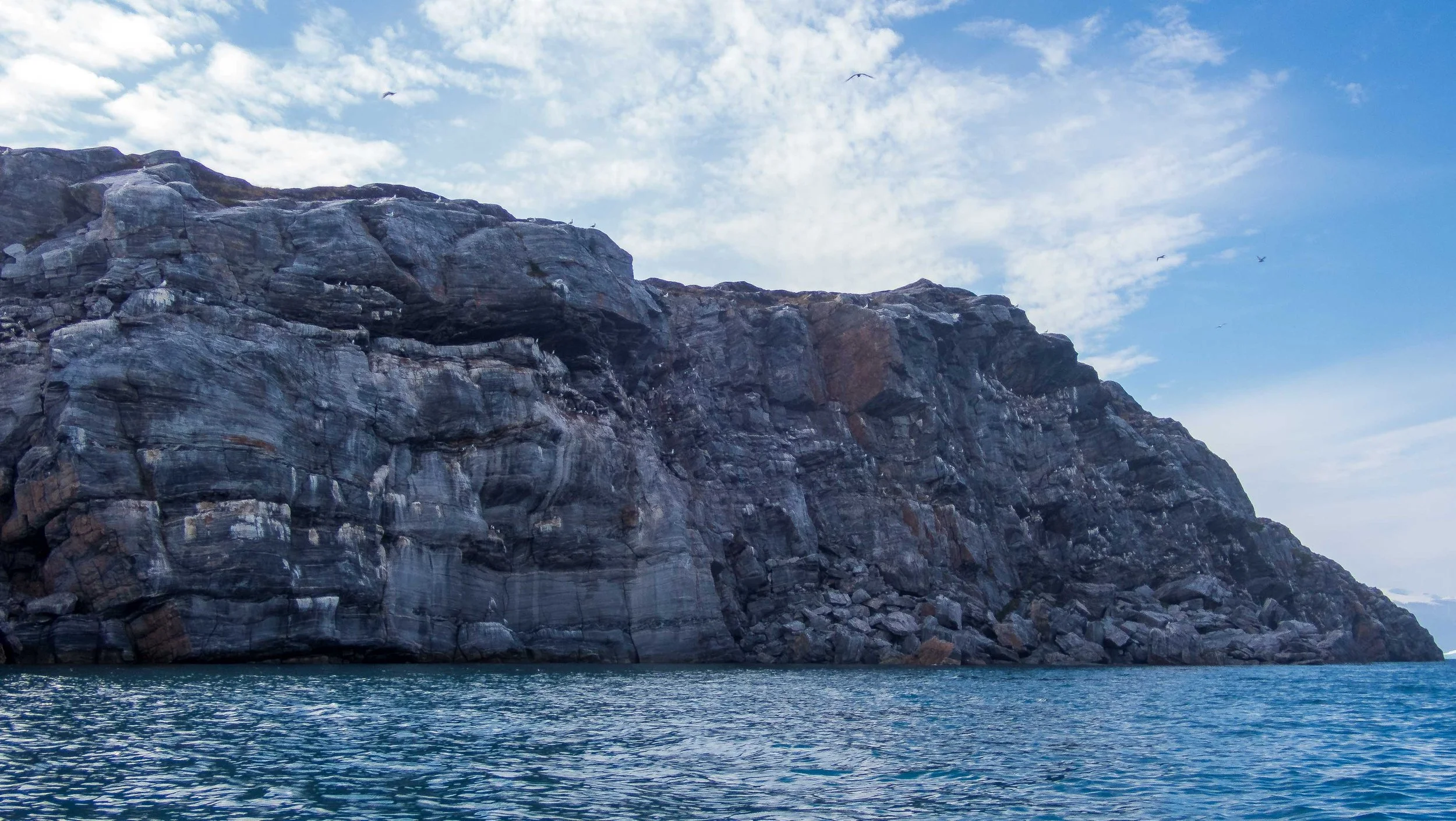
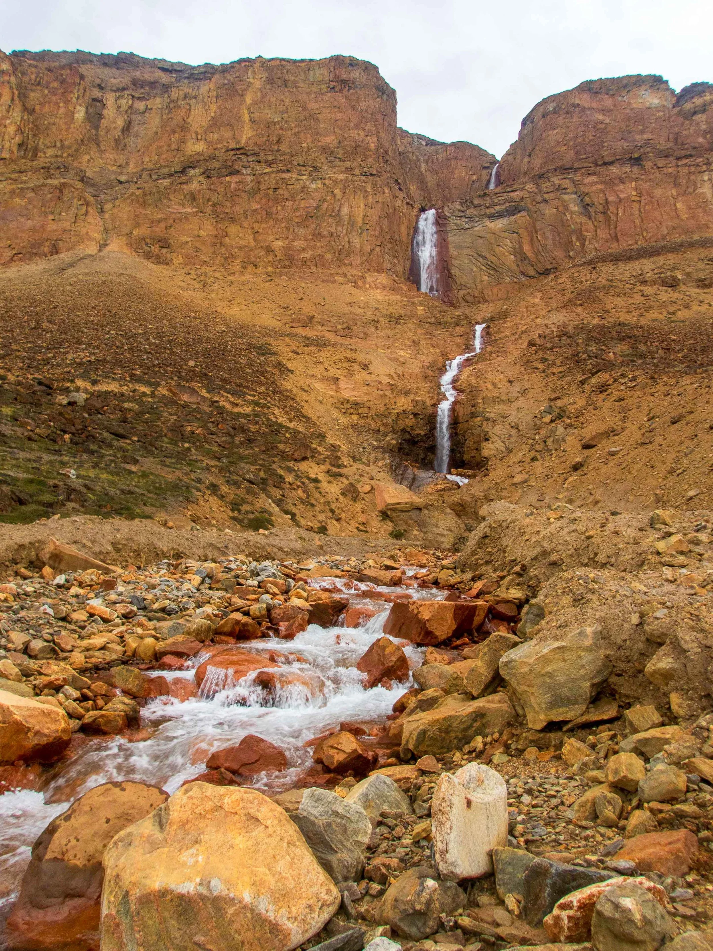
We launched around 10:30 a.m. and paddled in a mild headwind out of the bay to a giant and impressive waterfall on the northern side. We stopped here for lunch and water. The humpback whale that had been keeping us company in the bay (nicknamed Moby) re-appeared to wish us farewell. I wished for him to go further from Uummannaq so as not to be hunted. Once around the corner, we enjoyed a slight tailwind, and we paddled to a black-legged kittiwake rookery before crossing over to the Ugpatege Island, just east of Storoen Island, to camp. Along the way, we were surprised to meet two other kayakers who were out on their own expedition.
Black-legged kittiwake cliff rookery in Greenland. Video by Carl Parris
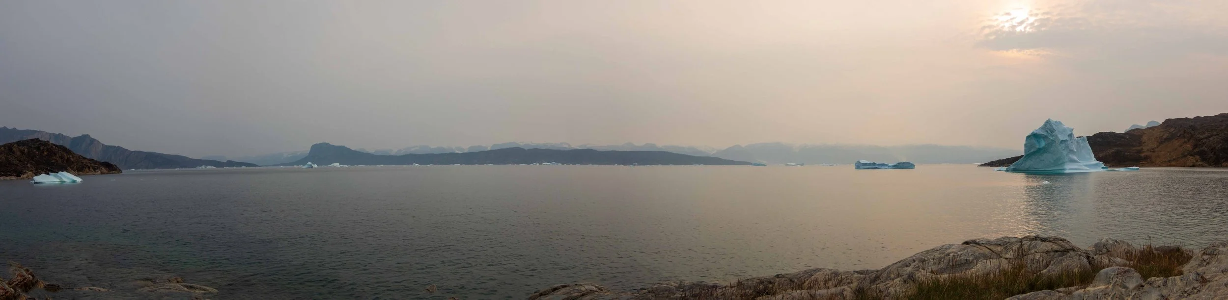
Evening on Ugpatege Island
Guðni and John again did heroic work in helping us to launch our loaded kayaks. We enjoyed a beautiful paddle under cool, grey skies, with no rain until after 1 pm. We stopped again at another impressive waterfall before making our way back to our first campsite on west Storoen island - a short 11 nmi.
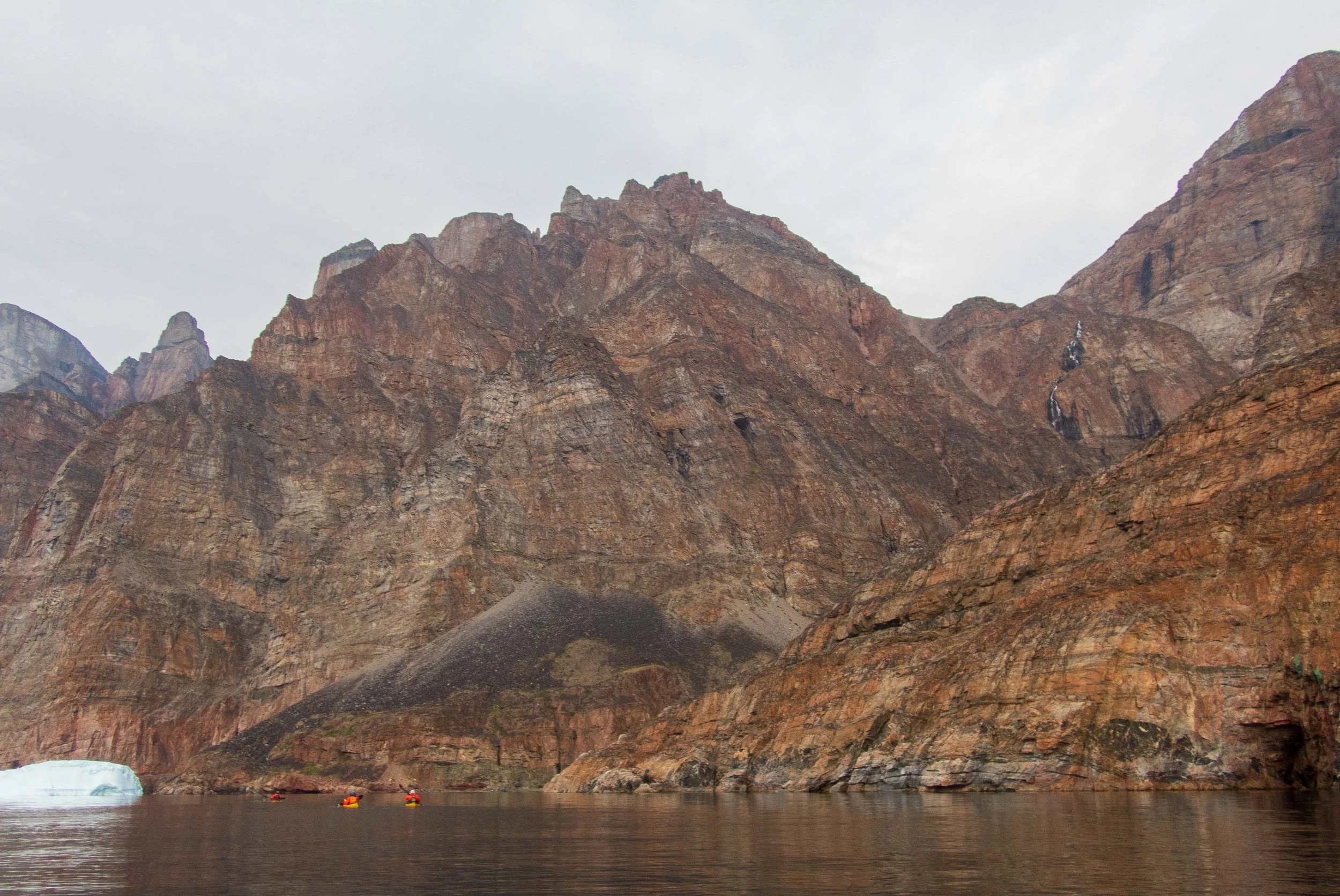
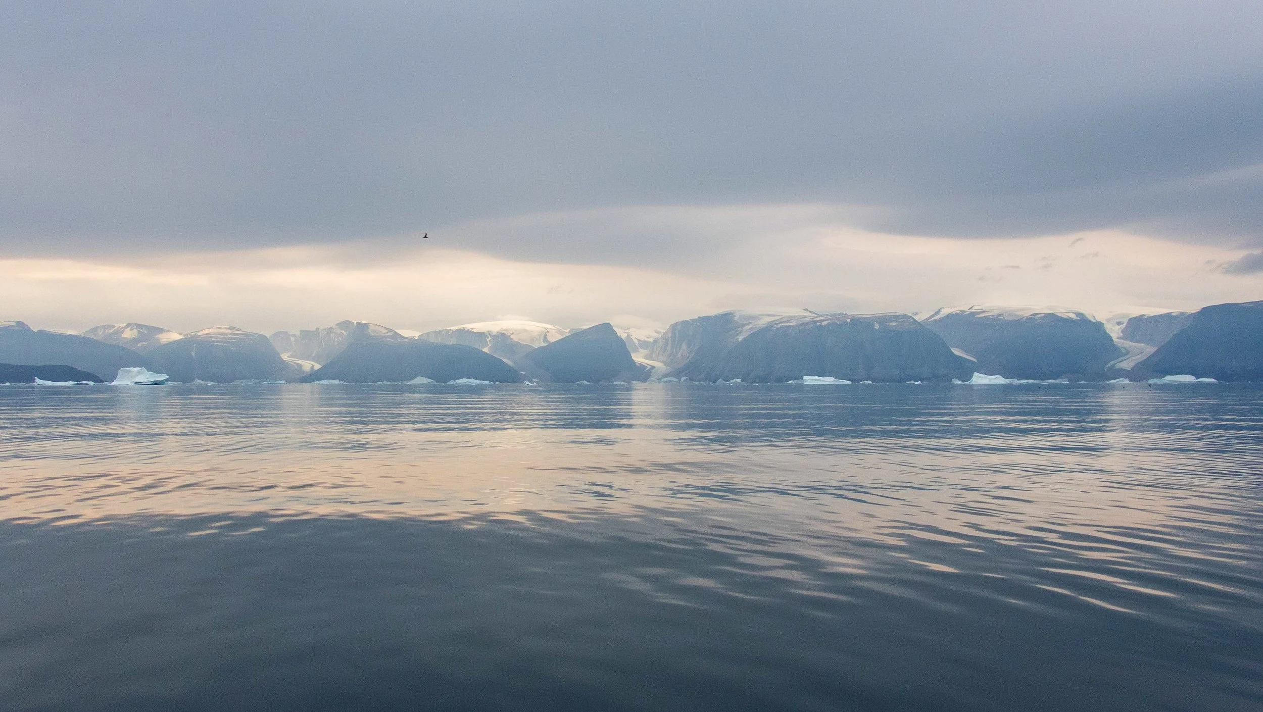
Final Paddling Day, Day 12: West Storoen Island to Uummannaq: 6 nmi / 11 km
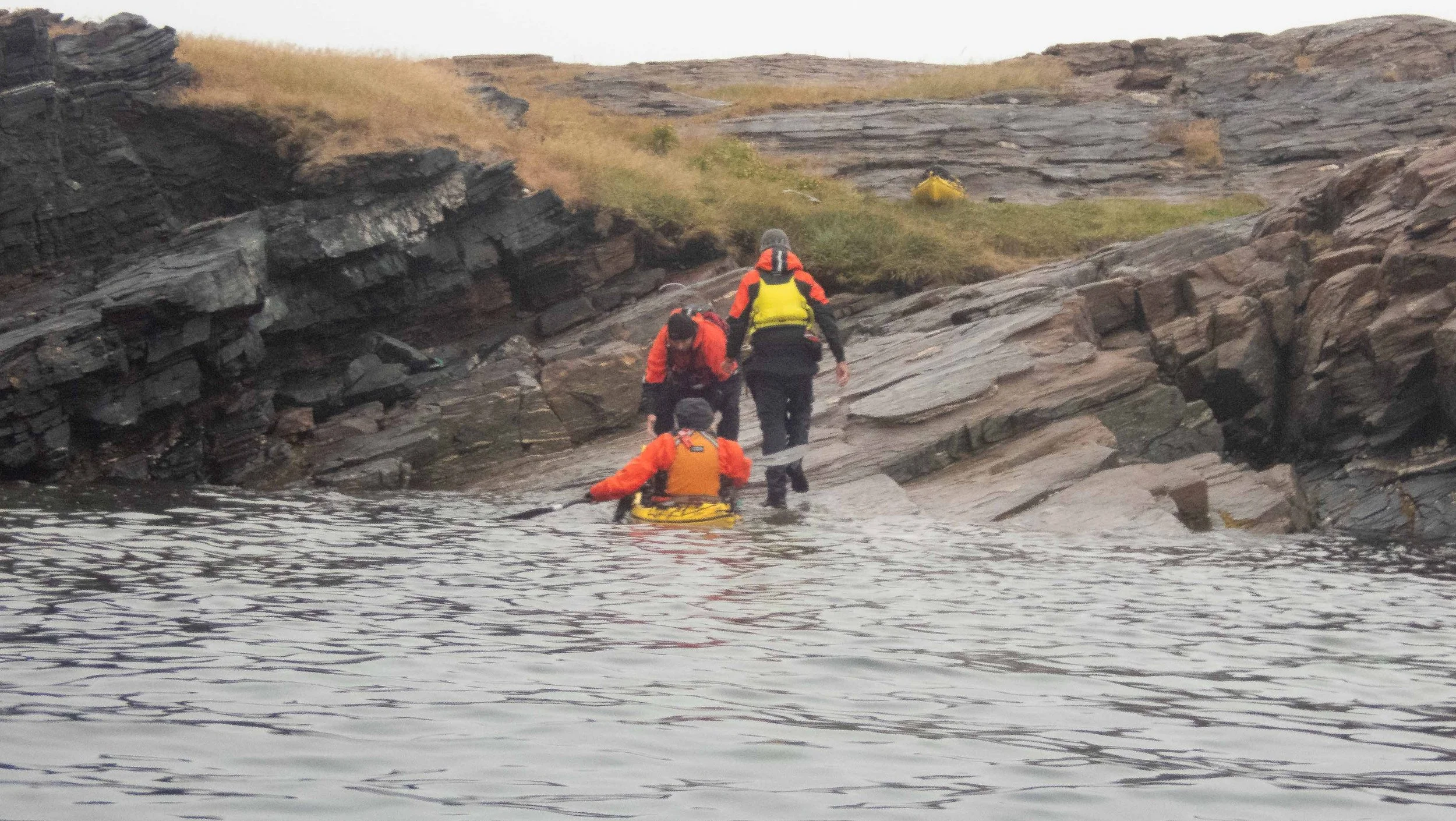
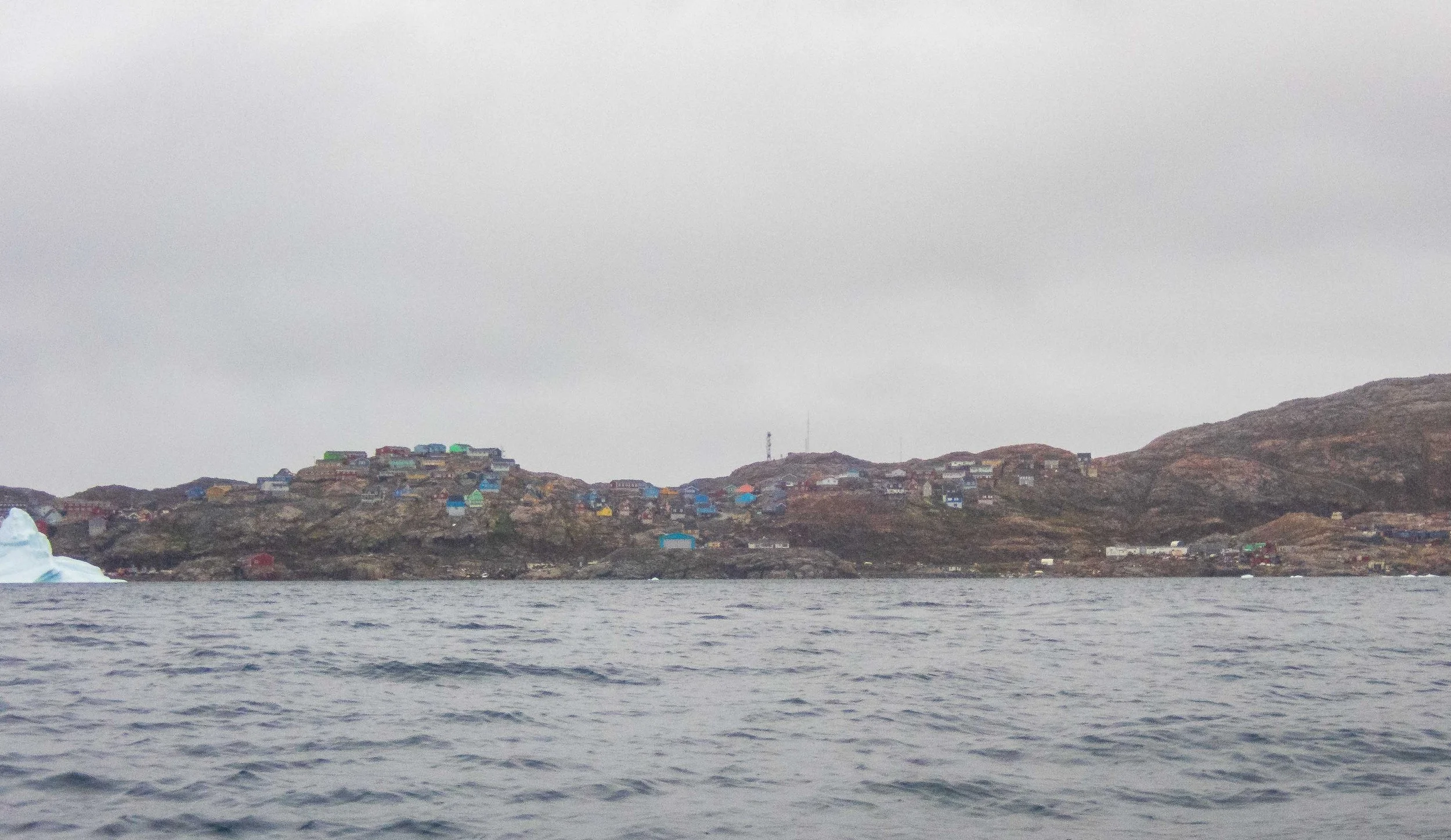
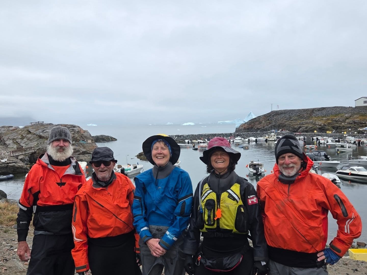
After a careful launch on the steep shoal shore in the rain, we had a short paddle back in to Uummannaq in the rain. Several of us were already nostalgic and not really ready for the trip to end. It was enchanting as the harbor appeared through the light fog from afar as we approached. The harbor was still crowded as we began the effort of unloading the boats and packing up all our gear in the rain, for transport to a different rented 3 bedroom house where we would start to dry out our gear overnight. Then began what seemed an endless saga of challenging transport.
Six Days to Return to San Francisco from Uummannaq!
We had a celebratory dinner at the one restaurant in Uummannaq. We had our mostly dry gear packed up the next morning, and began an hour by hour wait for the fog to lift sufficiently for helicopter transport off the island. The flight kept getting delayed due to conditions, and finally around 3 pm, Guðni made arrangements with his local contact to hire two speedy fishing boats to take us and all our gear across the bay to Qaarsut, so that we wouldn’t miss our Air Greenland flight to Illulisat. Our flight time was approaching and we felt a sense of urgency.
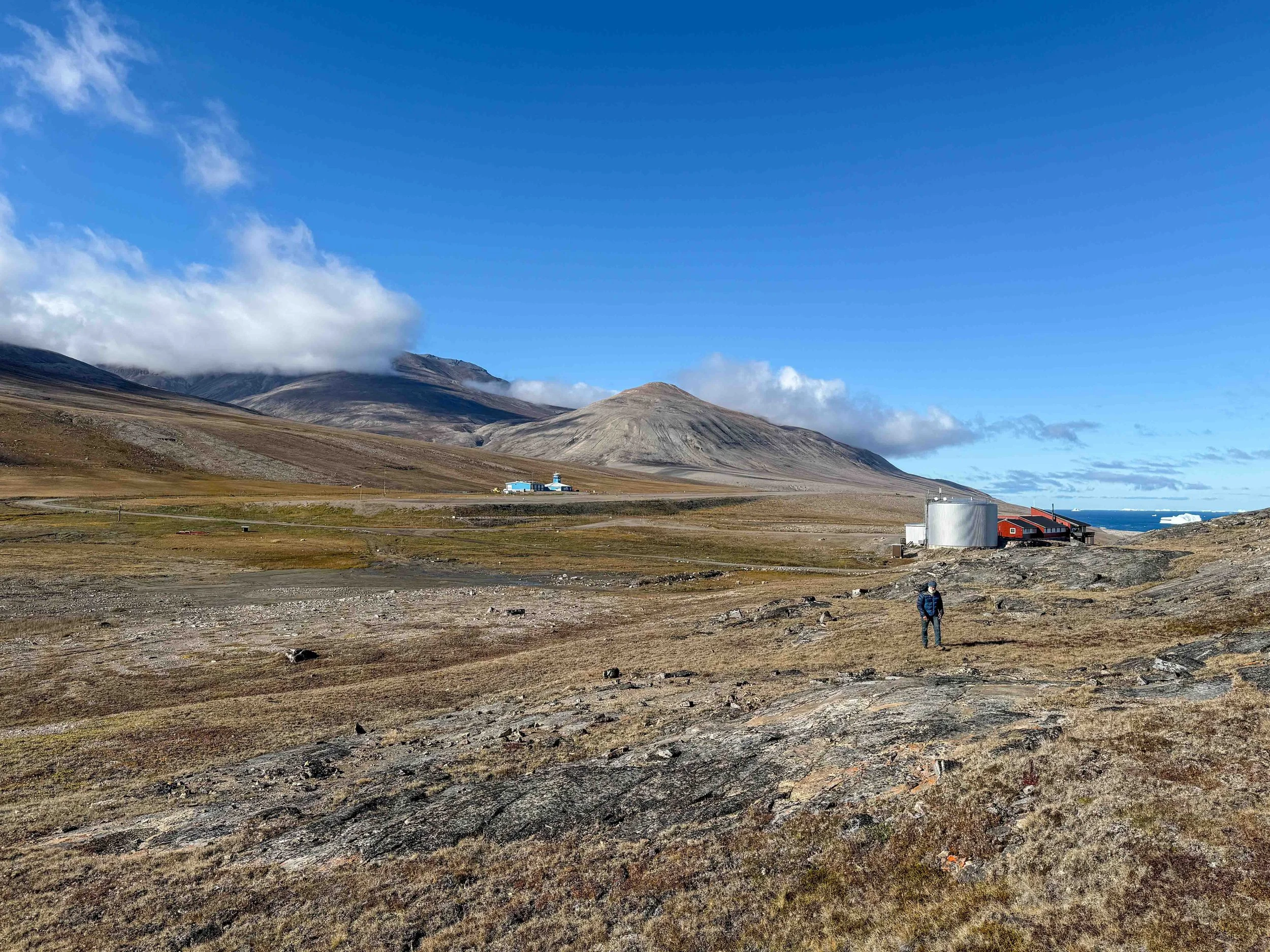
The boat landing was one of the most challenging I’ve ever done, on a mossy, slippery cliff face - there was no harbor, pier, or dock. We carefully helped each other up and wrangled our heavy gear up the rocks, before setting off on a long gravel path toward the airstrip. I was hauling a plastic golf case and two heavy duffles and a backpack, and jogging as best I could. Although it was cold and raw, I had to stop and shed a layer as I was moving as fast as I could while carrying the heavy gear. A van eventually showed up as arranged by Guðni, but there wasn’t room for all of us and I volunteered to push ahead on my own. I finally arrived at the small building, sweaty and exhausted, only to find that our flight to Ilulissat had been cancelled, and we would be stuck for the entire weekend in the shared dormitory housing that Air Greenland had just for that purpose. We learned that Air Greenland doesn’t fly on the weekends, doesn’t have radar and of course poor weather is common. There were a couple other Europeans and one or two Greenlandic natives also staying in the lodge. There was nothing else around for miles, but fortunately there was a large kitchen, and a staff person came to offer modest meals on the two days. We took the opportunity on one day to take a walk around the hillside and part of the way to the tiny village, several kilometers away.
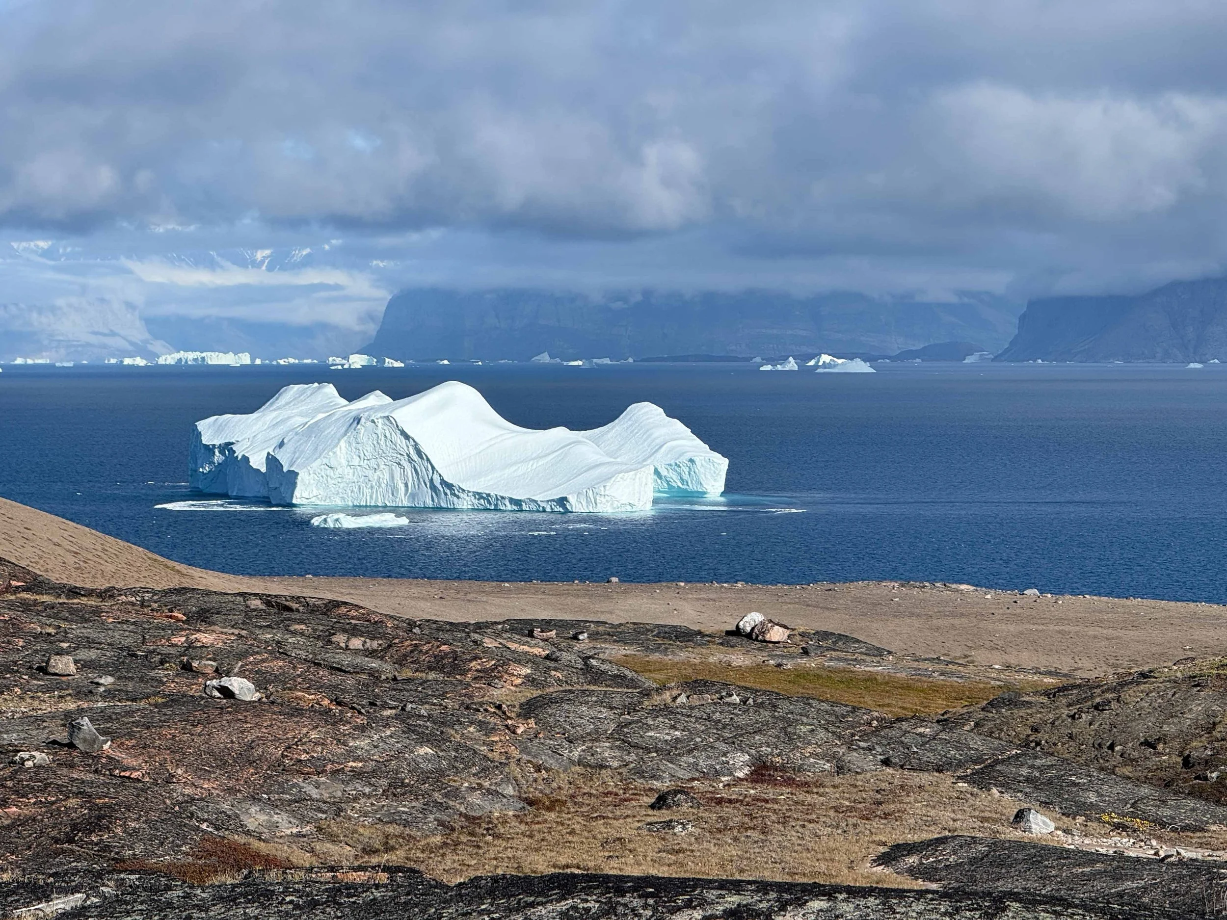
Last views of Greenland: Photos by Carl Parris
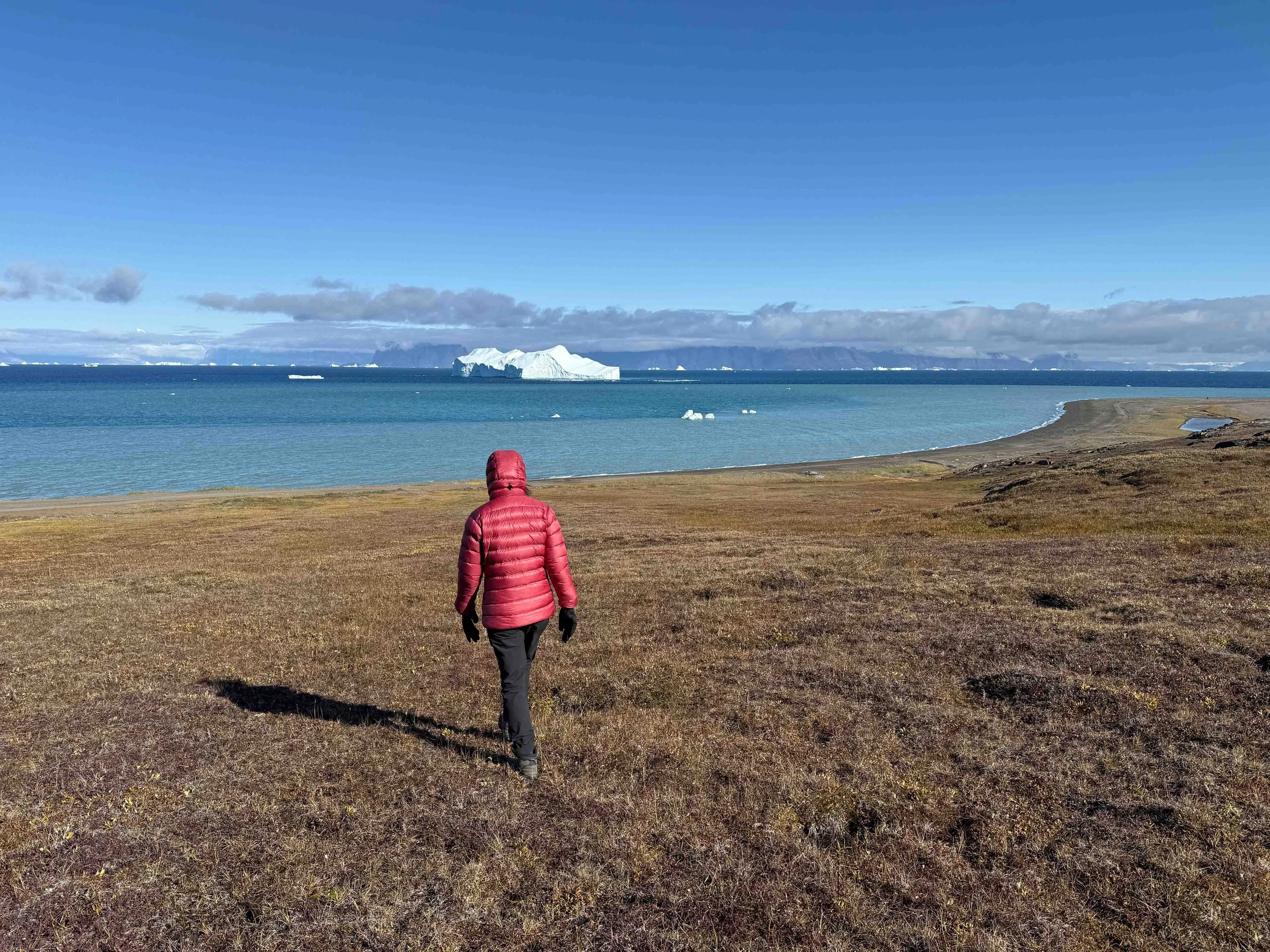
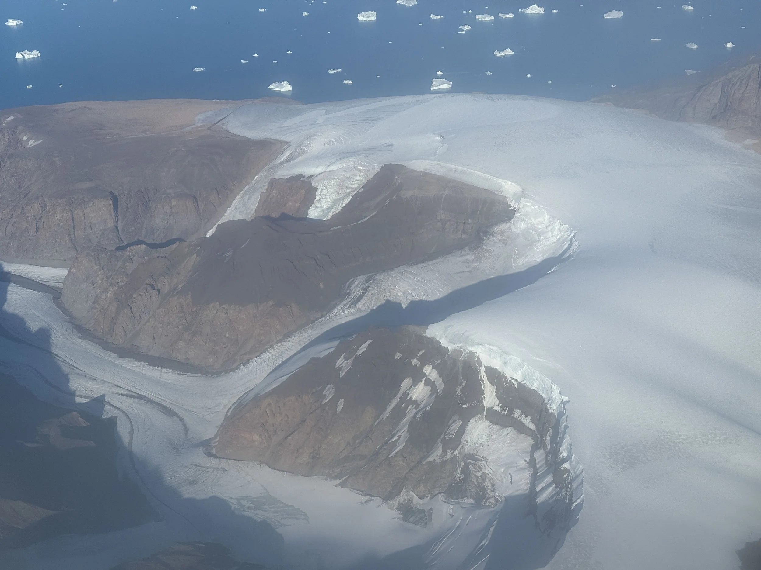
Finally, the Air Greenland flight from Qaarsut to Illulisat was cleared to fly on Monday afternoon after the weekend. We all had spent a great deal of time on the phone over the weekend trying to re-schedule our flights on Iceland Air. We were relieved to finally land in Ilulissat, but the subsequent flight from Ilulissat to Reykjavik was delayed due to a storm in the Atlantic. As a result, the Iceland Air flight needed to take time to refuel before flying to Reykjavik. So we missed our connecting flights, and had to spend an overnight in Reykjavik until the next day, when we could catch our flight to Seattle and then back to SFO. It was quite the journey. As luck would have it, the day after I arrived back home in the Bay Area, I tested positive for Covid.
I thoroughly enjoyed this unique sea kayaking expedition in West Greenland. I’m extremely grateful to Guðni Viktorsson of Sea Kayak Iceland for his immense efforts to handle the complicated logistics of this trip. Guðni went all out: his planning was meticulous, he was prepared for all outcomes, and his experience, flexibility and dedication made the trip a real pleasure instead of a source of anxiety for the conditions. At all times, I knew I was in good hands.
Greenland itself offered me the most surreal travel experience of my life. The immense vistas and the scale of the country cannot be imagined nor underestimated. The entire island projects an image of a forbidding and unforgiving natural environment, but one filled with the beauty of the largest glaciers and icebergs of the world. In addition, the cultural heritage and landscapes are of a country that is relatively unmarred by human existence, unlike nearly everywhere else on the planet. I was constantly in a state of awe, wonder, and gratitude to be able to witness the environment, and even more so by sea kayak.
I can’t say I recommend this particular trip, as I doubt it will be offered again by Sea Kayak Iceland given the complicated logistics of travel to Uummannaq. Although I know guided sea kayaking trips are offered in East Greenland by other outfitters, at least West Greenland has few to zero polar bears, which minimizes the requirements for guard duty. Moreover, the weather conditions are more favorable in the west. Nevertheless, I can certainly recommend visiting Greenland to appreciate the geography and the unique culture.
Except where indicated, photos by Cris Lewis: Olympus TG-6
LOGISTICS AND NOTES
*All mileage is provided from GPS tracking, which will be a slight overestimate of actual mileage.
I highly recommend Sea Kayak Iceland for any kayaking adventure they may offer. They host a Sea Kayaking Symposium as well as fantastic expeditions in northwestern Iceland.
Ilulissat has two large grocery stores that offered most of the food that might be needed for an expedition. However, the selection was not what you might find in a typical European market. A couple stores sold warmer clothing (gloves, mittens, jackets), but not necessarily the full supply of what might be needed. There was a small store and one restaurant in Uummannaq to provide some meals.
A google search identifies hotels and VRBO’s that can be rented. I learned it’s probably wise to pay a bit more to stay at a hotel such as The Best Western Plus that offers a shuttle from the airport, as the transportation is very limited, and you can end up waiting for quite a while after the flights from Reykjavik. I stayed in a nice VRBO a half mile from town.
There is an interesting history museum in the town of Ilulissat that is well worth a visit. Be prepared to take off your shoes and wear provided slippers for visits inside most buildlings (except for the grocery store). This seems to be a common practice in icy arctic territories, as I experienced the same thing on a later trip to Svalbard, Norway.
There was no real reference material available to us before the trip. Guðni had a map that he had marked up using input from locals and a previous trip. Searching for fresh water was a significant concern throughout the trip, and was always top of mind in selecting campsites.
I downloaded a free topo map of the relevant area of Greenland from GPSfiledepot.com for use on my GPS, and from these I prepared laminated paper ‘charts’ for my deck map case.